Marocco
1:1.250.000
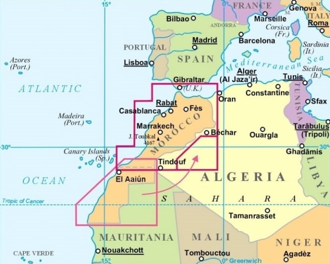
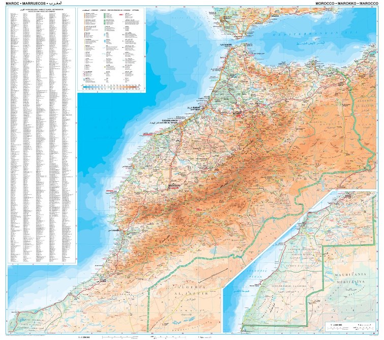
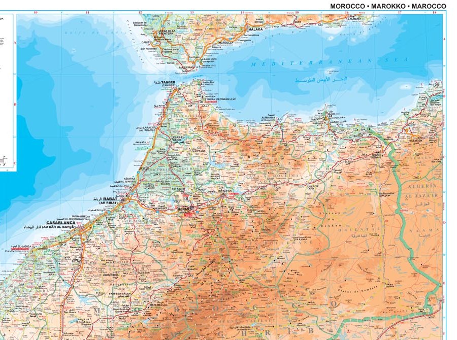
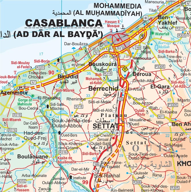
Morocco at 1:1,250,000 on an indexed map from Gizi Map, with bold altitude coloring showing the Atlas Mountains and the topography of the rest of the country. Western Sahara is covered at 1:2,500,000. Many place names are also given in Arabic alphabet.
Bold altitude colouring shows the topography, with plenty of names of various geographical features: mountain ranges, peaks, passes, deserts, etc. Additional graphics indicate salt flats, deserts, swamps, caves, wadis, oasis and water wells.
Road network includes local tracks and gives driving distances on main routes. Railways, domestic airports and the country’s internal administrative boundaries are also marked. Symbols highlight various places in interest including UNESCO World Heritage sites, forts, locations of rock paintings, beaches, campsites, etc.
Names of selected towns, of administrative provinces and of selected topographic features are also shown in Arabic alphabet. Latitude and longitude grid is at intervals of 1°; an extensive index of localities is next to the map. Map legend includes English and Arabic.


