Hema
|
Australia |
2010 |
1:2.000.000
Stati Uniti Nordovest
1:2.000.000
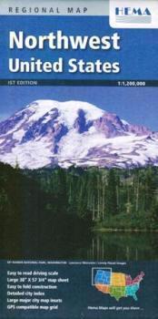
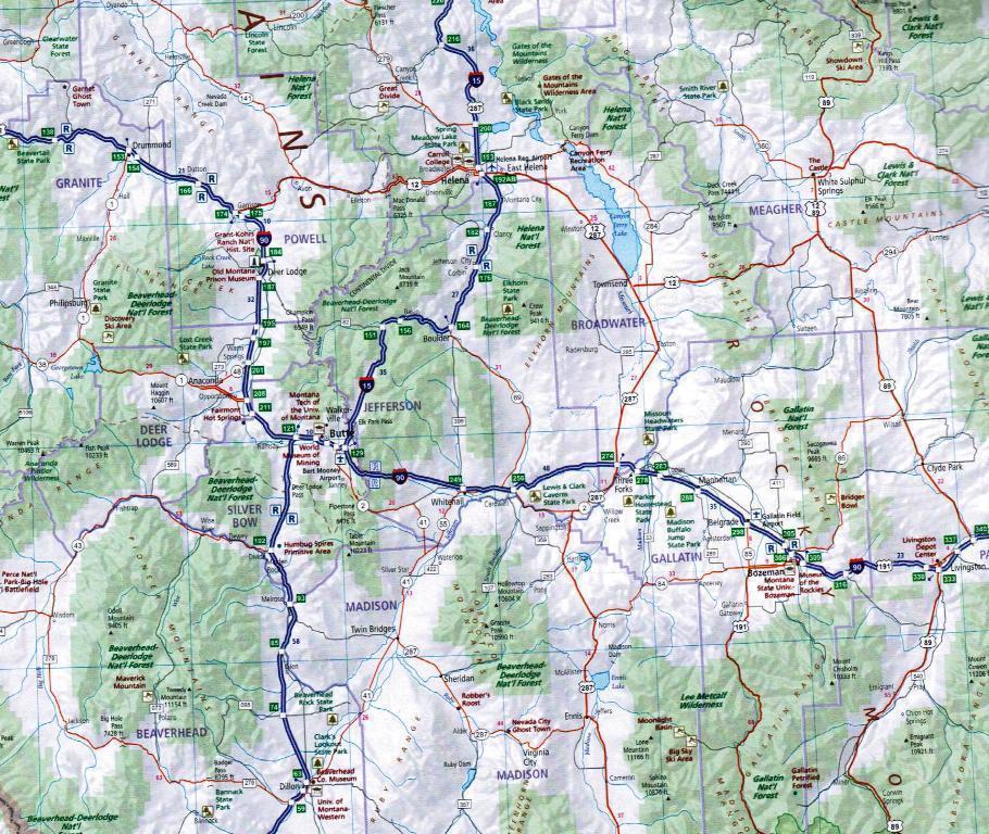
A regional map of Northwest USA that covers from Colorado in the southeast to Washington and past the Canadian border in the northwest.
- Large 38"x57 3/4" sheet
- National park insets and information
- Large city map insets
- City and town index
- Point of interest index
- Distance chart
- GPS compatible map grid