


Guidebook to 8 treks in the Uttarakhand Himalaya, including the Nanda Devi Sanctuary, Shivling and the source of the Ganges. Ranging from 3 to 8 days, these guided trekking routes take in verdant valleys, alpine meadows, peaks, glaciers, holy sites and national parks, with the chance to see protected species such as snow leopard and musk deer.
Seasons
Spring (March/April) for the last of the snow, green meadows and rhododendrons/wildflowers blooming; summer (May/June) opens up settled weather and the higher altitudes; the post-monsoon season (mid-September/mid-October) has clear views of mountains and higher altitudes are again possible; and autumn (mid-October to the end of November) brings clear air. Trekking in the monsoon (July/August) is difficult, and possibilities are limited in winter (December–February) due to snow on the trails and temperatures of -5 to -10 C, or below.
Centres
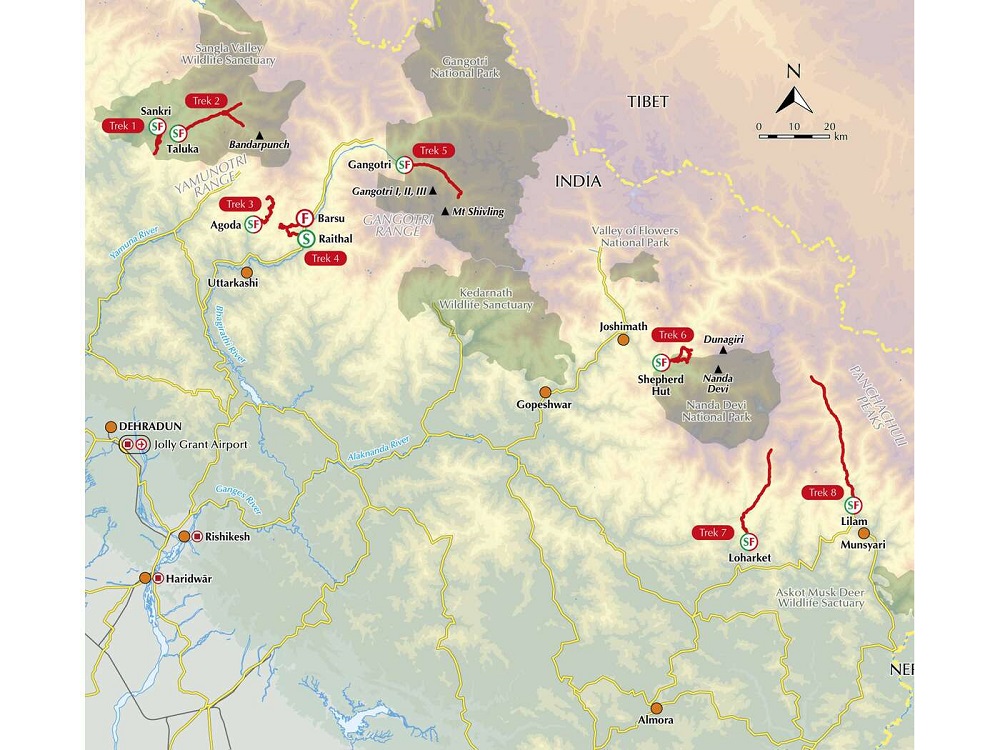
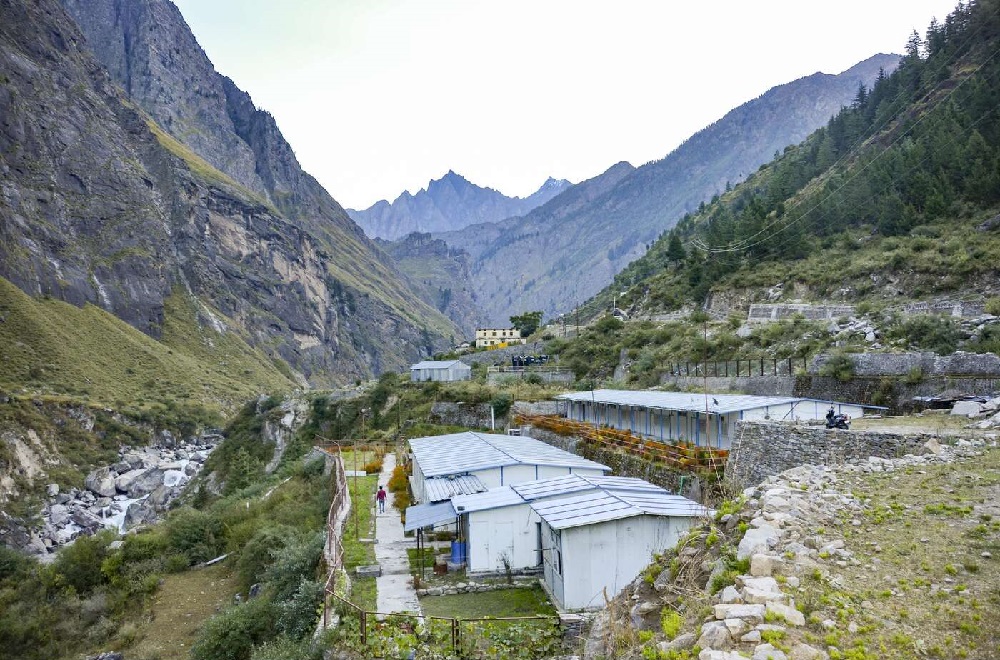
In the Garwhal Himalaya: Dehra Dun, Joshimath and Sankri; in Kumaon: Munsyari and Loharkhet.
Difficulty
With diverse trails including trade and pilgrimage routes, wide paths, ridges, mountain passes and glaciers, each trek is graded from easy to challenging.
Must See
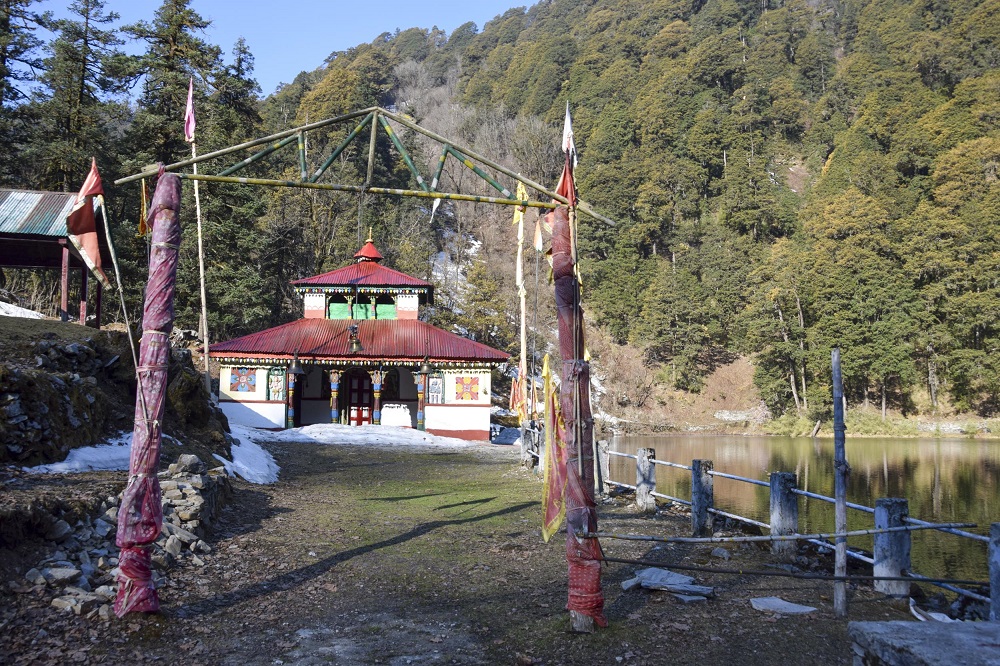
Highlights include Nanda Devi and the dramatic Rishi Ganga gorge, as well as Gaumukh — the sacred source of the Ganges — and the striking peak of Shivling. Walkers can explore the Pindari and Milam glaciers, enjoy summit views from Kedarkantha, Darwa Top and Dayara Bugyal, and take in a landscape of alpine meadows, rhododendron forests, glacial lakes and rushing rivers.
Overview
A guidebook to trekking in the Uttarakhand region of the Indian Himalaya. These 8 guided routes are graded according to difficulty and include forest trails, gorge walks, mountain passes, high-altitude summits and glaciers.
Suitable for hikers with a reasonable level of fitness and experience, each trek involves between 1000m and 4000m of elevation gain, with the highest route reaching more than 4300m in altitude. Treks take from 3–9 days to complete, with total lengths of 10–53 miles (15–85km).
Includes 1:50,000 mapping of each stage, with trek overview maps and elevation profiles also provided
Handy route summary tables give a snapshot of the treks
Advice on planning and preparation, including trek operators, guides and homestay accommodation
Information on safety considerations
GPX files available to download