


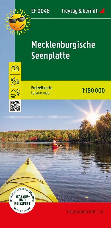
Con la mappa per il tempo libero della regione dei laghi del Meclemburgo potrete pianificare in modo ideale le vostre escursioni e tour e scoprire tutte le attrazioni da Schwerin a Neustrelitz. Tutte le attrazioni sono descritte sul retro.
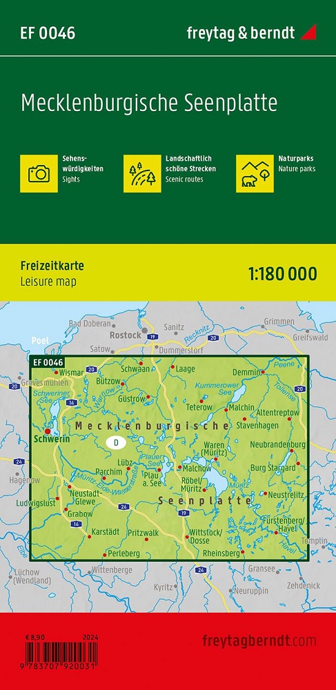
Attrazioni, parchi naturali
Bellissimi percorsi panoramici
Informazioni turistiche
Impermeabile e resistente agli strappi
Questa mappa delle escursioni nella regione dei laghi del Meclemburgo mostra chiaramente: questa è una regione turistica attraente! Numerosi contrassegni indicano le attrazioni turistiche, descritte in dettaglio sul retro. Oltre al noleggio di barche, gite in barca, villaggi turistici e piscine avventura, vengono presentate anche molte città e villaggi con le loro diverse attività per il tempo libero.
Affinché la mappa per il tempo libero della regione dei laghi del Meclemburgo possa essere utilizzata per l'orientamento anche nei giorni di pioggia, è stampata su carta speciale impermeabile e resistente.