en
wishlist
login
mail

contact us

Cartography

Hiking maps, maps and atlases, cartography around the world. Maps of the trails, cartography for cyclotourism and mountain biking

Mountain

Alpine guides, hiking guides, technical manuals for summer and winter mountaineering. Mountain literature and filmography

Sea

Nautical manuals, nautical cartography, books and literature for sailboat and motor

Travels

Travel guides and travel literature for Italy, Europe and the rest of the world

Military

Collection of the best publications (books and DVDs) on the mountain war on the Alps and the rest of Italy and Europe
back
Husavik / Myvatn
Ferdakort | Special map | Reykjavik | 12/2016 | 13 x 22 | 1:100 000

Husavik / Myvatn

Special Maps

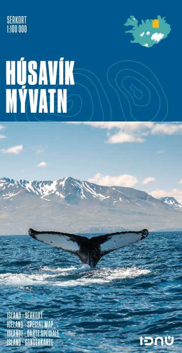
High-quality shaded-relief map of a popular region in Iceland. It includes the town of Húsavík, the Aðaldalur valley and the Mývatn area, as the well as the Jökulsárgljúfur National Park. Provides up-to date road information and containsa vast number of place-names.

Primary language: English

add to wish list
€ 20.00
quantity
- 1 +
ship to :: Italia
Corriere espresso € 6.00
availability
usually shipped within 15/30 days
add to cart