en
wishlist
login
mail

contact us

Cartography

Hiking maps, maps and atlases, cartography around the world. Maps of the trails, cartography for cyclotourism and mountain biking

Mountain

Alpine guides, hiking guides, technical manuals for summer and winter mountaineering. Mountain literature and filmography

Sea

Nautical manuals, nautical cartography, books and literature for sailboat and motor

Travels

Travel guides and travel literature for Italy, Europe and the rest of the world

Military

Collection of the best publications (books and DVDs) on the mountain war on the Alps and the rest of Italy and Europe
back
-5%
Tra Lario e Ceresio stato
Macchione | Marzio Sambruni | Varese | 01/2016 | pagine 175 | 13 x 21

Tra Lario e Ceresio

35 escursioni tra Lombardia e Svizzera Italiana

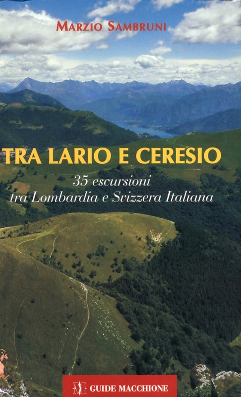
Il territorio presentato nella guida è delimitato da due grandi laghi: il Lario a est e il Ceresio a ovest. A nord il confine è dato dalla Val Menaggio, dov'è situato anche il Lago di Piano. A sud invece coincide con la fine dei rilievi montuosi: una linea tra la città di Como, in Italia, e il comune di Capolago, in Svizzera.
La zona è divisa in due dalla linea di confine tra l'Italia e la Svizzera.

add to wish list
€ 14.25
instead of € 15.00
quantity
- 1 +
ship to :: Italia
Corriere espresso € 6.00
availability
Out of stock
notify when available