


contact us
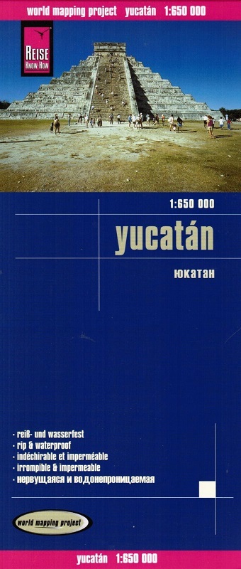
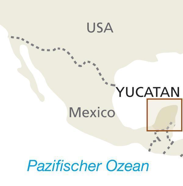
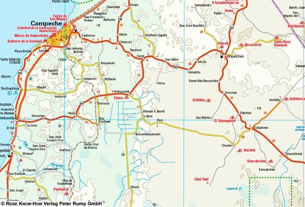
Yucatan at 1:650,000 on light, waterproof and tear-resistant synthetic paper, published by Reise Know-How's as part of their highly acclaimed "World Mapping Project". Road network and numerous highlighted places of interest are clear to see on the light background with subtle altitude colouring.
Additional topographic information includes graphics for swamp and mangrove areas, plus coral reefs. National parks and other protected areas are highlighted. Road network includes small local roads and cart tracks, shows distances on main and selected secondary routes, and indicates locations of petrol stations. A wide range of symbols, with special markings for Maya temples, indicate various places of interest including campsites, beaches and scuba diving / surfing sites, viewpoints, etc. Latitude and longitude lines are drawn at 30’ intervals. The index highlights important locations and has a separate list protected areas and geographical features. Map legend includes English.