


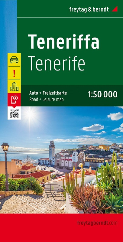
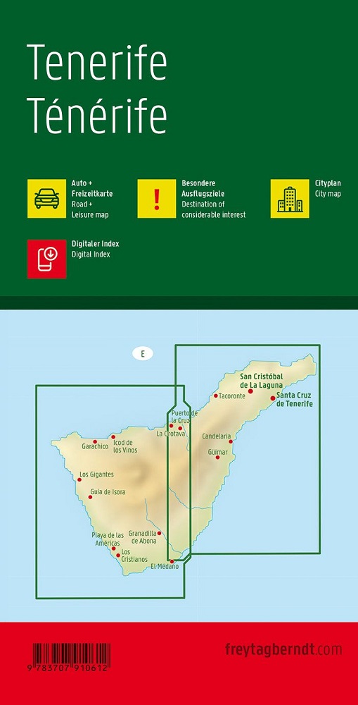
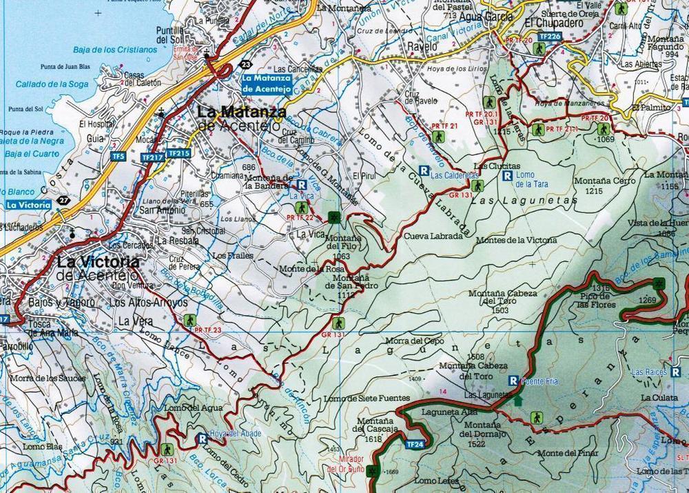
Oltre al design chiaro, la cartina stradale di Tenerife in scala 1:50.000 contiene molte informazioni aggiuntive come condizioni stradali, attrazioni, campeggi e diverse mappe del centro città. L'ampio registro delle posizioni consente inoltre un rapido orientamento. La guida per il tempo libero multilingue allegata offre informazioni sulle destinazioni escursionistiche speciali e interessanti sulle isole. (Lingue: tedesco, inglese, francese, italiano, spagnolo, olandese, ceco, slovacco, ungherese, polacco). Destinazioni speciali per escursioni, fronte-retro, guida per il tempo libero, registro della posizione con codici postali GPS; Mappe delle città di Los Cristianos, Playa de las Américas, Puerto de la Cruz e Santa Cruz de Tenerife.
Sprache:Deutsch, Englisch, Französisch, Italienisch, Niederländisch, Polnisch, Slowakisch, Spanisch, Tschechisch, Ungarisch