en
wishlist
login
mail

contact us

Cartography

Hiking maps, maps and atlases, cartography around the world. Maps of the trails, cartography for cyclotourism and mountain biking

Mountain

Alpine guides, hiking guides, technical manuals for summer and winter mountaineering. Mountain literature and filmography

Sea

Nautical manuals, nautical cartography, books and literature for sailboat and motor

Travels

Travel guides and travel literature for Italy, Europe and the rest of the world

Military

Collection of the best publications (books and DVDs) on the mountain war on the Alps and the rest of Italy and Europe
advanced search ricerca avanzata
back
OS.EXP392 Ben Nevis & Fort William, the Mamores & The Grey Corries, Kinlochleven & Spean Bridge
Ordnance Survey ( U.K. ) | OS Explorer Map | U.K. | 2009 | 13,5x24 | 1:25.000

OS.EXP392 Ben Nevis & Fort William, the Mamores & The Grey Corries, Kinlochleven & Spean Bridge

1:25.000

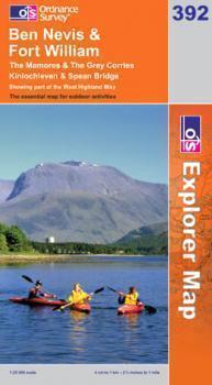
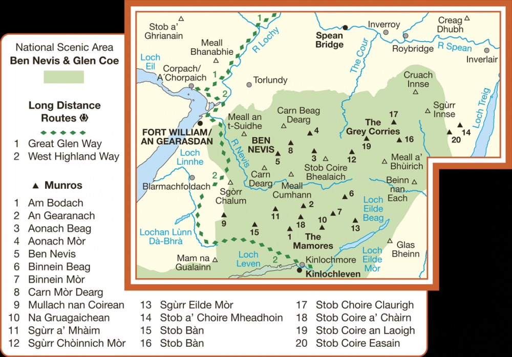
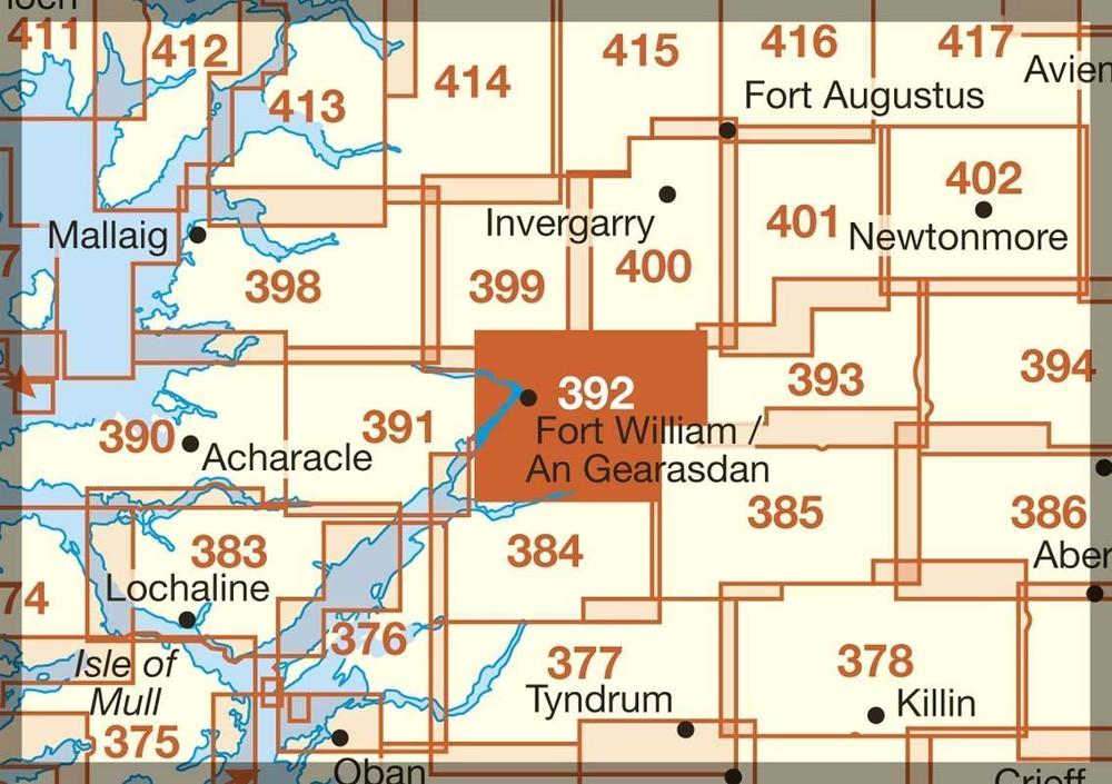
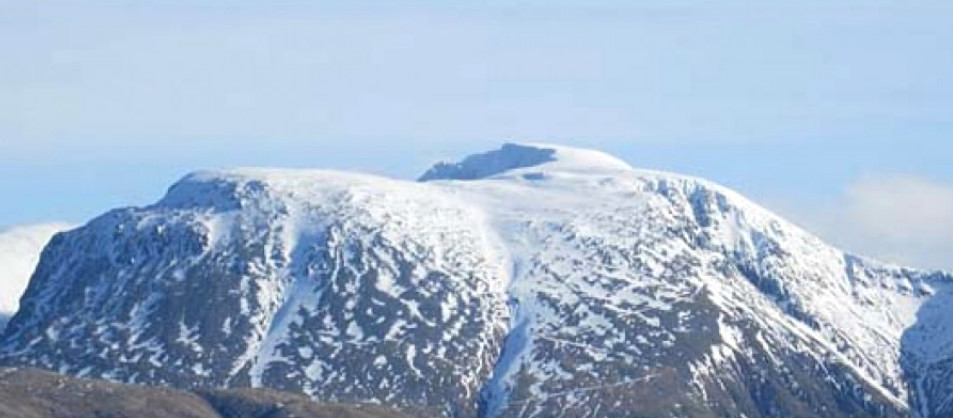
Map sheet number 392 in the OS Explorer map series is the perfect map to use when exploring the mountainous area of Ben Nevis, Fort William, The Mamores and The Grey Corries Kinlochleven and Spean Bridge. The area is frequented by mountain climbers and hikers or those wishing to soak up the scenery.


add to wish list
€ 12.00
quantity
- 1 +
ship to :: Italia
Corriere espresso € 5.50
availability
available
add to cart