


contact us

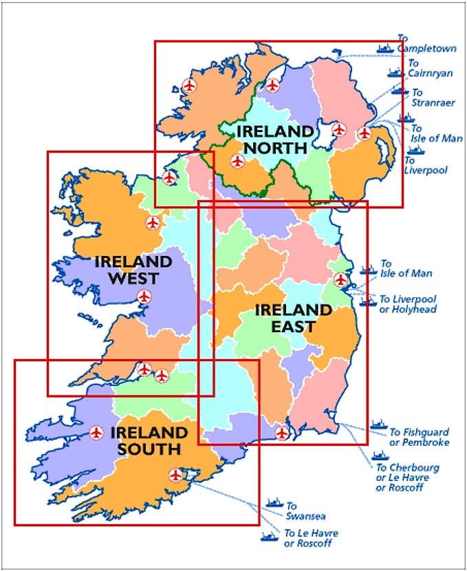
Ordnance Survey Ireland East Road map at 1:250,000 approx 4 miles to the Inch
This map shows detailed road classification, altitude colouring and tourist information, published by OSI, the Ordnance Survey of Ireland.
Topography of the island is shown by altitude colouring, with additional spot heights and names of mountain or hill ranges and other geographical features.
Additional graphics show different types of woodlands etc.
Road network shows six grades of roads;
Railway lines are shown with stations.
A range of symbols highlights camping and caravan sites, nature reserves, National Trust and An Taisce properties or land, golf courses (indicating the number of holes), historical sites, etc.
The maps have 10-km Irish national grid, plus latitude and longitude margin ticks at 10 intervals.
No index is provided.