en
wishlist
login
mail

contact us

Cartography

Hiking maps, maps and atlases, cartography around the world. Maps of the trails, cartography for cyclotourism and mountain biking

Mountain

Alpine guides, hiking guides, technical manuals for summer and winter mountaineering. Mountain literature and filmography

Sea

Nautical manuals, nautical cartography, books and literature for sailboat and motor

Travels

Travel guides and travel literature for Italy, Europe and the rest of the world

Military

Collection of the best publications (books and DVDs) on the mountain war on the Alps and the rest of Italy and Europe
back
-5%
11 Valle di Champorcher, Parco Mont Avic
L'escursionista | Cartografia Alpi | Rimini | 2022 | impermeabile, antistrappo | 11 X 16 | 1:25.000

11 Valle di Champorcher, Parco Mont Avic

Con reticolo U.T.M.

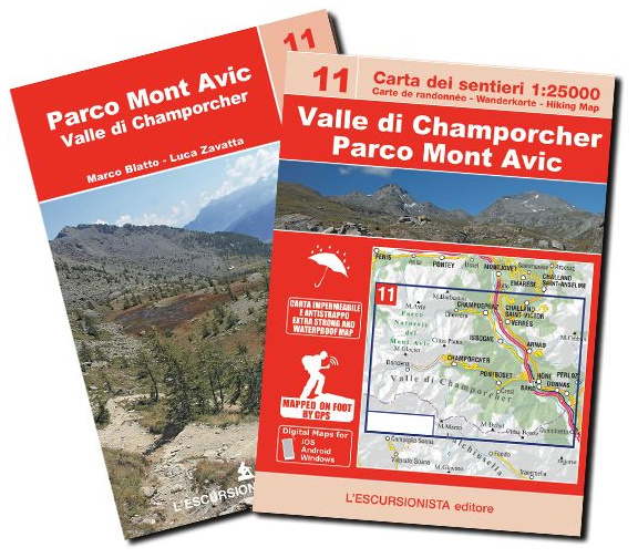
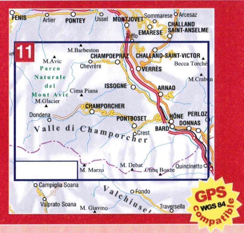
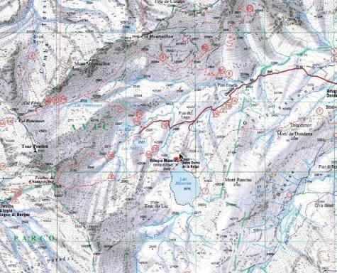
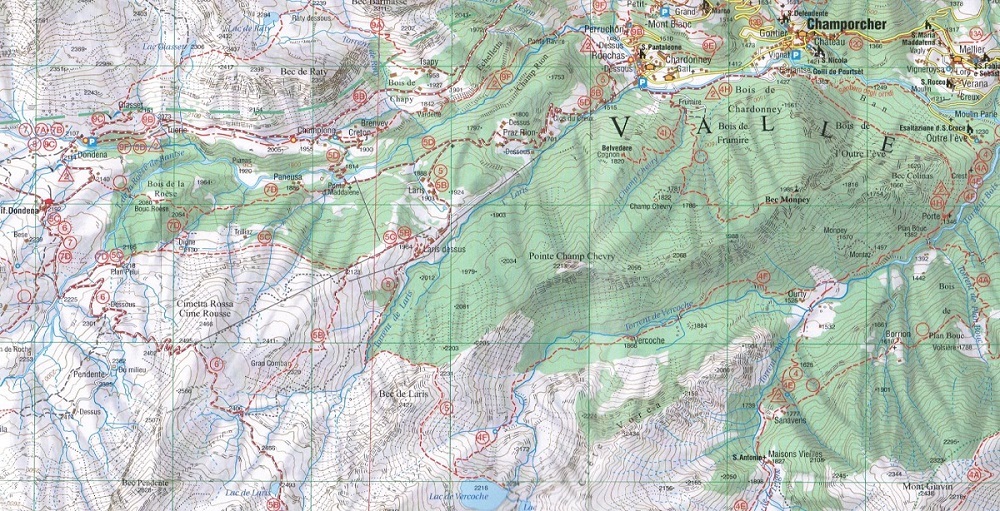
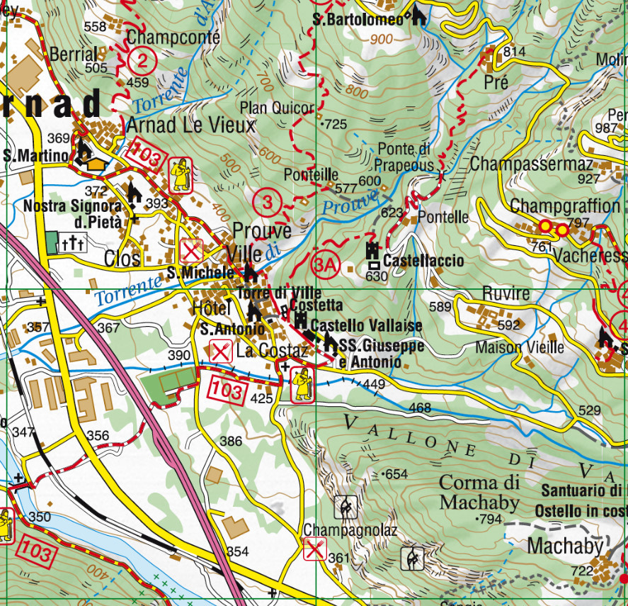
Carta dei sentieri della Valle di Champorcher e del Parco del Mont Avic con reticolo chilometrico WGS84.
Sentieri rilevati sul territorio con apparecchiatura satellitare GPS. 

Guida di 64 pagine con all'interno 3 trekking di più giorni in lingua italiano, francese e inglese (Il grande anello del Parco naturale del Mont Avic, Tra Bassa Valle d'Aosta e Valle di Champorcher, Il Parco naturale del Mont Avic) ed elenco dei sentieri con segnavia e tempi di percorrenza.

Lingue Guida/Cartoguida: Italiano, Inglese, Francese
Lingue Cartina: Italiano, Inglese, Francese, Tedesco


index
add to wish list
€ 8.55
instead of € 9.00
quantity
- 1 +
ship to :: Italia
Corriere espresso € 6.00
availability
available
add to cart