en
wishlist
login
mail

contact us

Cartography

Hiking maps, maps and atlases, cartography around the world. Maps of the trails, cartography for cyclotourism and mountain biking

Mountain

Alpine guides, hiking guides, technical manuals for summer and winter mountaineering. Mountain literature and filmography

Sea

Nautical manuals, nautical cartography, books and literature for sailboat and motor

Travels

Travel guides and travel literature for Italy, Europe and the rest of the world

Military

Collection of the best publications (books and DVDs) on the mountain war on the Alps and the rest of Italy and Europe
back
11 Collioure-Cadaqués - Côte Vermeile
Rando éditions | pirenei | Francia | 04/2017 | 11 x 22 | 1:50.000

11 Collioure-Cadaqués - Côte Vermeile

Compatibile GPS / WGS84

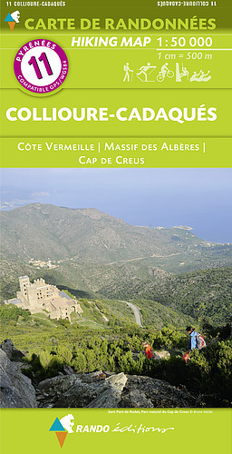
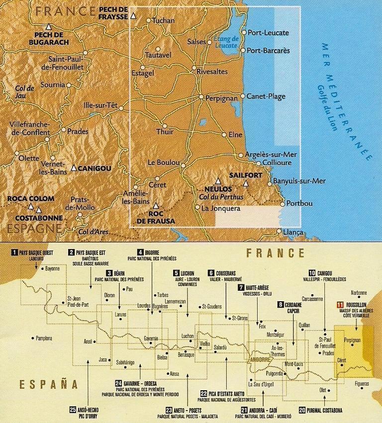
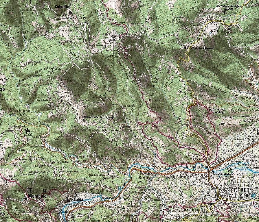
Carte topographique détaillée de la région de Collioure et de Cadaquès. Carte de randonnée Pyrénées n°11 éditée par Rando Editions, qui couvre le Massif des Albères et la Côte Vermeille (Roussillon) ainsi que le Cap de Creus. Carte de randonnée avec les courbes de niveau et des informations utiles à la pratique de la montagne inclus.

index
add to wish list
€ 15.00
quantity
- 1 +
ship to :: Italia
Corriere espresso € 6.00
availability
usually shipped within 15/30 days
add to cart