en
wishlist
login
mail

contact us

Cartography

Hiking maps, maps and atlases, cartography around the world. Maps of the trails, cartography for cyclotourism and mountain biking

Mountain

Alpine guides, hiking guides, technical manuals for summer and winter mountaineering. Mountain literature and filmography

Sea

Nautical manuals, nautical cartography, books and literature for sailboat and motor

Travels

Travel guides and travel literature for Italy, Europe and the rest of the world

Military

Collection of the best publications (books and DVDs) on the mountain war on the Alps and the rest of Italy and Europe
advanced search ricerca avanzata
back
A4 - Massif des Bauges - Annecy - Aix-les-Bains - Chambéry
Rando éditions | Alpi | Francia | 2007 | 11 x 22 | 1:50.000

A4 - Massif des Bauges - Annecy - Aix-les-Bains - Chambéry

1:50.000

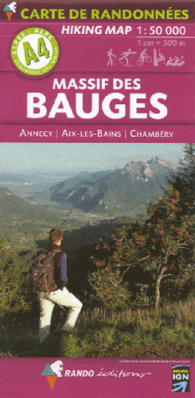
Cartographie réalisée sur la base des fonds topographiques de l'Institut Géographique National, avec surimpression des itinéraires de randonnées et de promenades à pied, à ski, à VTT.
Localisation des refuges gardés, gîtes d'étape, Rando'Plume, campings, zones de bivouac, indications d'ordre touristique (points de vues, sites), culturel (musées, etc.), sportif (centres d'activités équestres, VTT, vol libre, escalades, canyoning, rafting).

Compatibile GPS / WGS84

index
add to wish list
€ 11.00
quantity
- 1 +
ship to :: Italia
Corriere espresso € 5.50
availability
available
add to cart