en
wishlist
login
mail

contact us

Cartography

Hiking maps, maps and atlases, cartography around the world. Maps of the trails, cartography for cyclotourism and mountain biking

Mountain

Alpine guides, hiking guides, technical manuals for summer and winter mountaineering. Mountain literature and filmography

Sea

Nautical manuals, nautical cartography, books and literature for sailboat and motor

Travels

Travel guides and travel literature for Italy, Europe and the rest of the world

Military

Collection of the best publications (books and DVDs) on the mountain war on the Alps and the rest of Italy and Europe
back
-5%
Alte Vie della Valle d'Aosta stato
L'escursionista | Guide | Luca Zavatta | Massimo Martini | Saint-Vincent | 2009 - rist. 2011 | pagine 237 | 15 x 21

Alte Vie della Valle d'Aosta

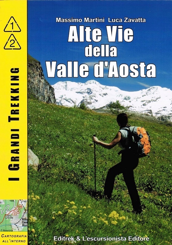
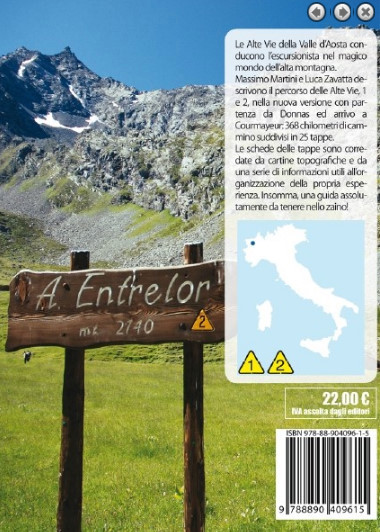
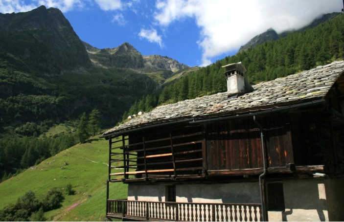
La Alte Vie della Valle d'Aosta conducono l'escursionista nel magico mondo dell'alta montagna.

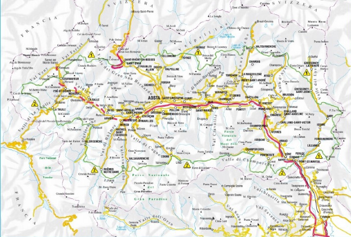
Massimo Martini e Luca Zavatta descrivono il percorso delle Alte Vie, 1 e 2, nella nuova versione con partenza a Donnas e arrivo a Courmayeur: 386 chilometri di cammino suddivisi in 25 tappe.

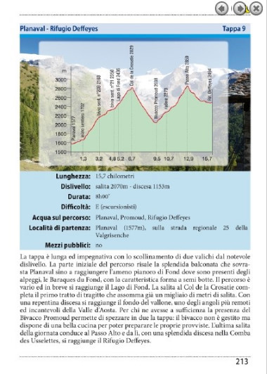
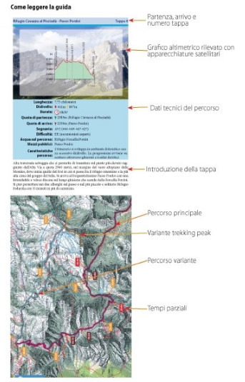
Le schede delle tappe sono corredate da cartine topografiche e da una serie di informazioni utili all'organizzazione della propria esperienza. Insomma, una guida assolutamente da tenere nello zaino!

add to wish list
€ 20.90
instead of € 22.00
quantity
- 1 +
ship to :: Italia
Corriere espresso € 6.00
availability
Out of stock
notify when available