


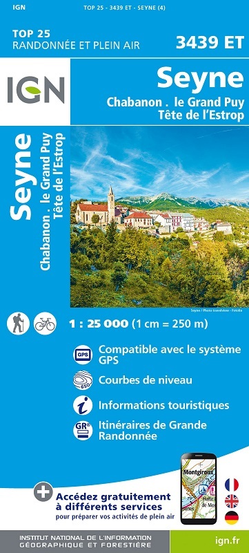
L'indispensable carte de randonnée IGN 3439ET. D'une très grande précision elle contient tous les détails existants sur le terrain : voies de communication jusqu'au moindre sentier, constructions jusqu'au hangar, bois, arbre isolé, rivière, source... Sans oublier la représentation du relief par des courbes de niveau. Les sentiers balisés et les informations touristiques sont également représentées.
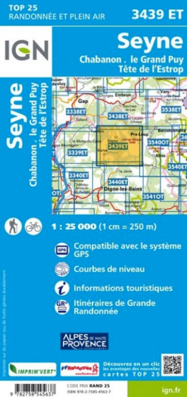
Communes couvertes : Montclar, Barles, Verdaches, Beaujeu, Auzet, Saint-Martin-lès-Seyne, Seyne, Le Vernet, Selonnet, Méolans-Revel, Prads-Haute-Bléone
Lieux à découvrir : Forêt Domaniale de la Blanche, Forêt Domaniale des Gorges du Sasse,le Grand Puy, le Mourre de Simance, Tête de l'Auriac, Grande Séolane, Mourre Gros, les Trois Évêchés, Col de Maure, Tête de l'Estrop, Sommet du Caduc, Sommet de Clot Ginoux ou les Cimettes, Blayeul Sommet, l'Aiguillette, Tête de ChaParc naturel régional de Brières, Clues