


contact us
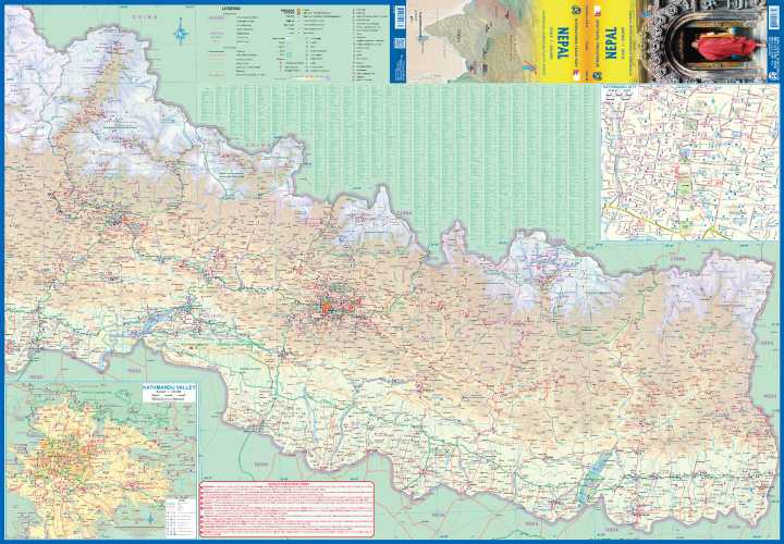
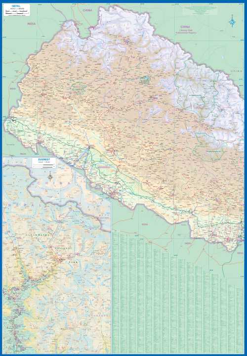
Nepal on an double-sided map with an enlargement for Kathmandu Valley and a street plan of the capital. The map divides the country east/west. Topography is shown by elevation colouring with peak heights in metres, but, given the importance of geography to the country’s tourism, relatively few mountain ranges are named and well known peaks are missing.
Stranger still is the lack of many familiar places associated with the country’s main trekking areas. In the Everest region neither Lukla nor Namche Bazar appear on the map, although Lukla is listed in the index. Similarly, familiar place names are missing from the route of the Annapurna circuit. The map shows the country’s road network, from metalled roads to selected local tracks. Airports and landing strips are marked. Symbols highlight main places of interest including temples and campsites.
Also included is an enlargement showing Kathmandu Valley in greater detail and a street plan of the city, both annotated with places of interest.