en
wishlist
login
mail

contact us

Cartography

Hiking maps, maps and atlases, cartography around the world. Maps of the trails, cartography for cyclotourism and mountain biking

Mountain

Alpine guides, hiking guides, technical manuals for summer and winter mountaineering. Mountain literature and filmography

Sea

Nautical manuals, nautical cartography, books and literature for sailboat and motor

Travels

Travel guides and travel literature for Italy, Europe and the rest of the world

Military

Collection of the best publications (books and DVDs) on the mountain war on the Alps and the rest of Italy and Europe
back
Carinzia- Tirolo est
Freytag & Berndt | Carte stradali / atlanti | Austria | 13 x 22,5 | 1:200.000

Carinzia- Tirolo est

1:200.000

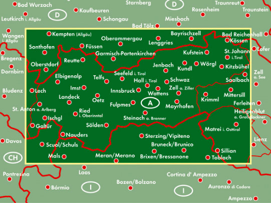
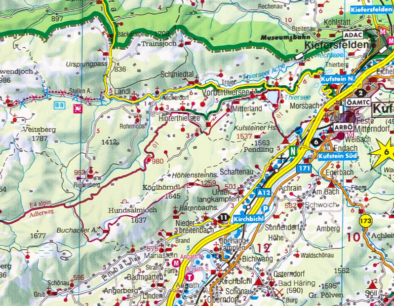
La carta stradale e per il tempo libero Carinzia - Tirolo Orientale in scala 1:200.000 è la carta ideale per la pianificazione e l'orientamento grazie alla precisa cartografia di freytag & berndt. La fitta rete stradale è rappresentata in modo molto dettagliato, i percorsi turistici e i percorsi panoramici sono evidenziati a colori e molte mete escursionistiche sono visualizzate direttamente sulla mappa.

Piazzole per campeggi e camper
Strade turistiche
Sentieri escursionistici a lunga percorrenza
Piani del centro città di Klagenfurt e Lienz

add to wish list
€ 12.90
quantity
- 1 +
ship to :: Italia
Corriere espresso € 6.00
availability
usually shipped within 15/30 days
add to cart