en
wishlist
login
mail

contact us

Cartography

Hiking maps, maps and atlases, cartography around the world. Maps of the trails, cartography for cyclotourism and mountain biking

Mountain

Alpine guides, hiking guides, technical manuals for summer and winter mountaineering. Mountain literature and filmography

Sea

Nautical manuals, nautical cartography, books and literature for sailboat and motor

Travels

Travel guides and travel literature for Italy, Europe and the rest of the world

Military

Collection of the best publications (books and DVDs) on the mountain war on the Alps and the rest of Italy and Europe
back
B12 - CARTE DI GEOGRAFIA-ATLANTE DEL SANTINI - FOGLIO 5-CARTE DU TERRITOIRE DE BERGAME SUIVANT LE PLAN DRESSE' SUR LES LIEUX. A VENISE, 1776. P. SANTINI

B12 - CARTE DI GEOGRAFIA-ATLANTE DEL SANTINI - FOGLIO 5-CARTE DU TERRITOIRE DE BERGAME SUIVANT LE PLAN DRESSE' SUR LES LIEUX. A VENISE, 1776. P. SANTINI

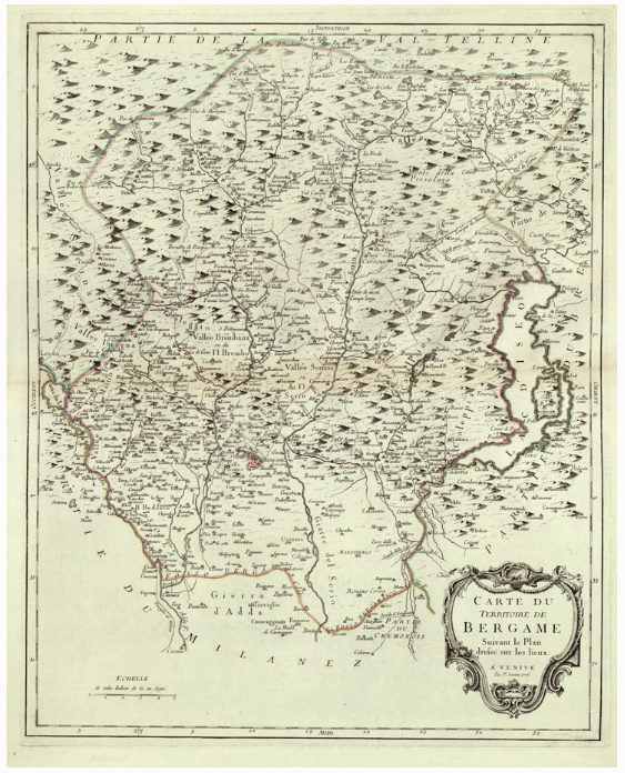
Carta contenuta nella raccolta di 18 tavole (17 perchè manca la tav. n. 8) del Santini ("Carte di Geografia") nell'angolo a nord- est trovansi le lettere P. II. j.  E' incisa su rame.
Longitudini provenienti dall'isola del Ferro.
Orografia prospettica a monticelli.
Toponomastica in francese con alcune voci in italiano.
Limiti: nord, Alemagna; sud, Isole di Malta; ovest, Linguadoca; est, Albania.
Sei scale grafiche in misure antiche.

Regioni: Lombardia
Province: Bergamo, Brescia, Lecco, Milano, Sondrio

add to wish list
€ 18.30
quantity
- 1 +
ship to :: Italia
Corriere espresso € 6.00
availability
usually shipped within 3/7 days
add to cart