


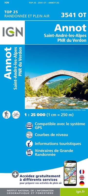
L'indispensable carte de randonnée IGN 3541OT. D'une très grande précision elle contient tous les détails existants sur le terrain : voies de communication jusqu'au moindre sentier, constructions jusqu'au hangar, bois, arbre isolé, rivière, source... Sans oublier la représentation du relief par des courbes de niveau. Les sentiers balisés et les informations touristiques sont également représentés.
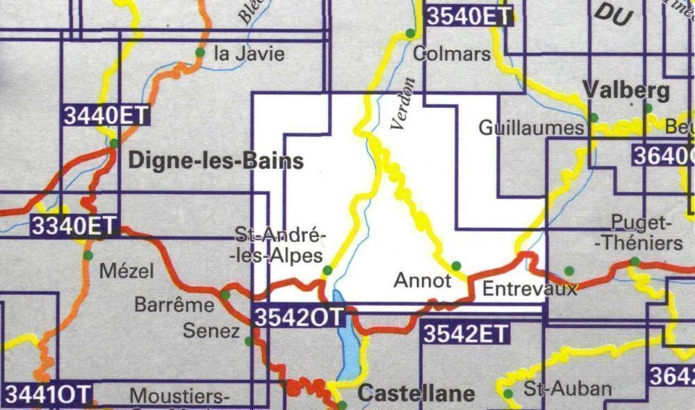
Communes couvertes : Saint-Benoît, Méailles, Saint-Lions, Castellet-lès-Sausses, Braux, Saint-André-les-Alpes, Le Fugeret, La Mure-Argens, Lambruisse, Allons, Angles, Annot, Moriez, Thorame-Haute, Thorame-Basse, Sauze, Daluis, Villeneuve-d'Entraunes, Sausses
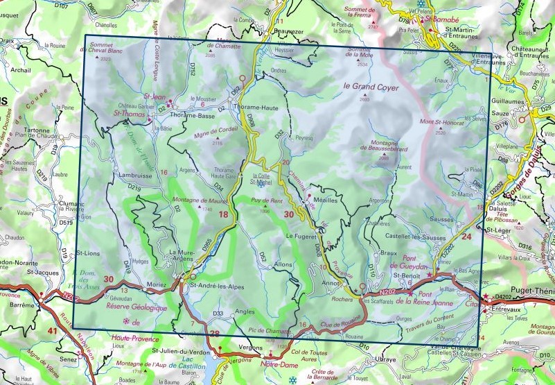
Lieux à découvrir : Gorges du Verdon, Forêt Domaniale des Trois Asses, Forêt Domaniale de l'Issole,Mont St-Honorat, Montagne de Beaussebérard, Puy de Rent, Montagne de Maurel, Pic de Chamatte, Rochers, Mgne de Cordeil, Mgne de Chamatte, Sommet du Cheval Blanc, Sommet de la Mole, le Grand Coyer, Travers du Content, Clue de Rouaine, Mgne de Cordeil