


contact us
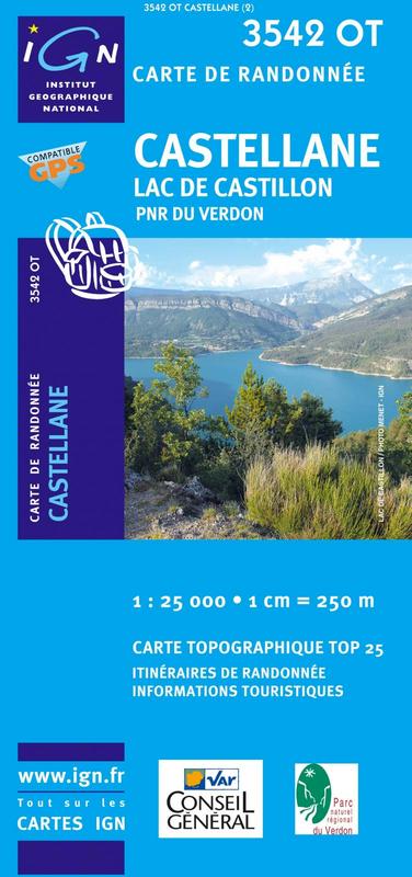
L'indispensable carte de randonnée IGN 3542OT. D'une très grande précision elle contient tous les détails existants sur le terrain : voies de communication jusqu'au moindre sentier, constructions jusqu'au hangar, bois, arbre isolé, rivière, source... Sans oublier la représentation du relief par des courbes de niveau. Les sentiers balisés et les informations touristiques sont également représentés.
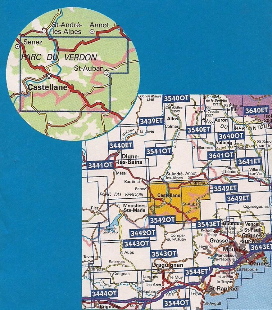
Communes couvertes : Le Bourguet, Rougon, Valderoure, Ubraye, Séranon, La Bastide, Demandolx, Châteauvieux, La Garde, Brenon, Saint-Julien-du-Gorges du Verdon, Vergons, Angles, Peyroules, La Martre, Castellane, Soleilhas, Val-de-Chalvagne, Saint-Auban, Caille, Briançonnet
Lieux à découvrir : Gorges du Verdon, Préalpes d'Azur,Lac de Castillon,,Montagne de Bleine, Destourbes, Clue de St-Auban, Crête de la Bernarde, Montagne de l'Aup, Sommet de Pré Chauvin, Montagne de Brouis, Montagne de Lachens, Montagne de l'Audibergue, Mgne de Robion, Beysse, Col de Toutes Aures, Crête du Teillon