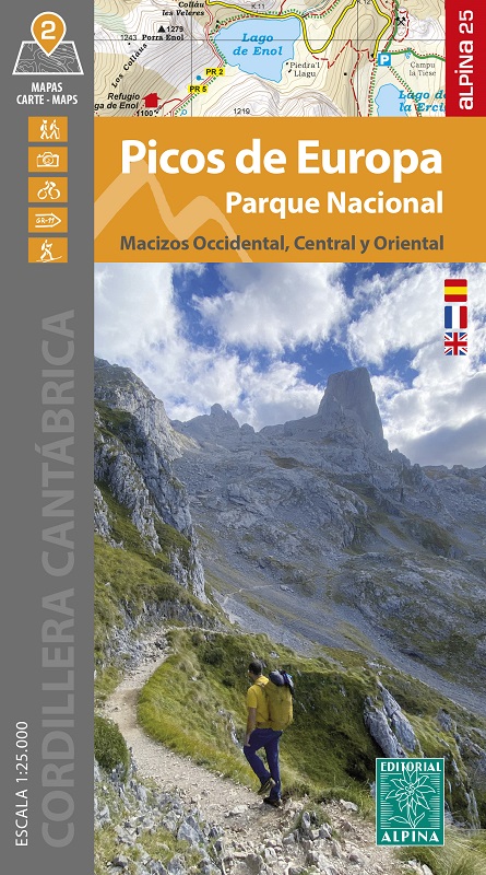
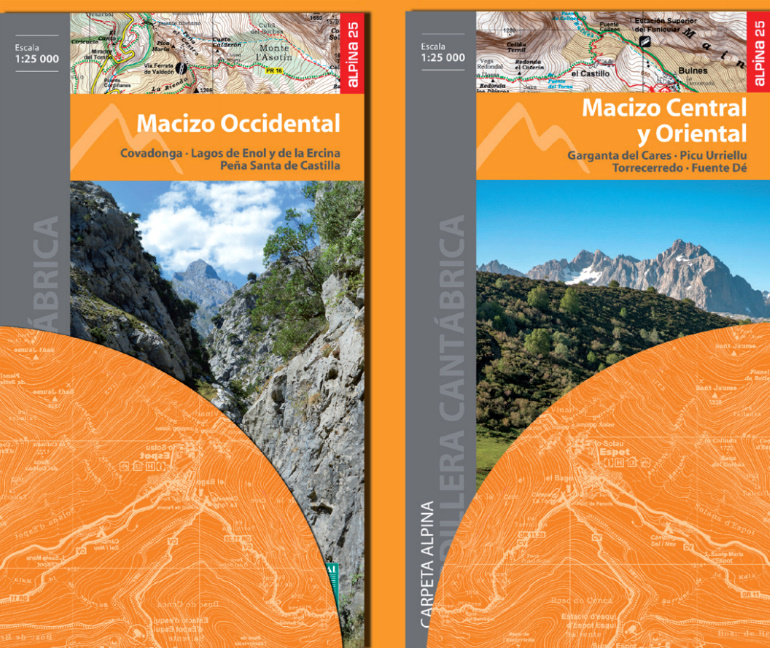
Picos de Europa Parc National - Macizo Occidental, Central y Oriental
2 Hiking maps
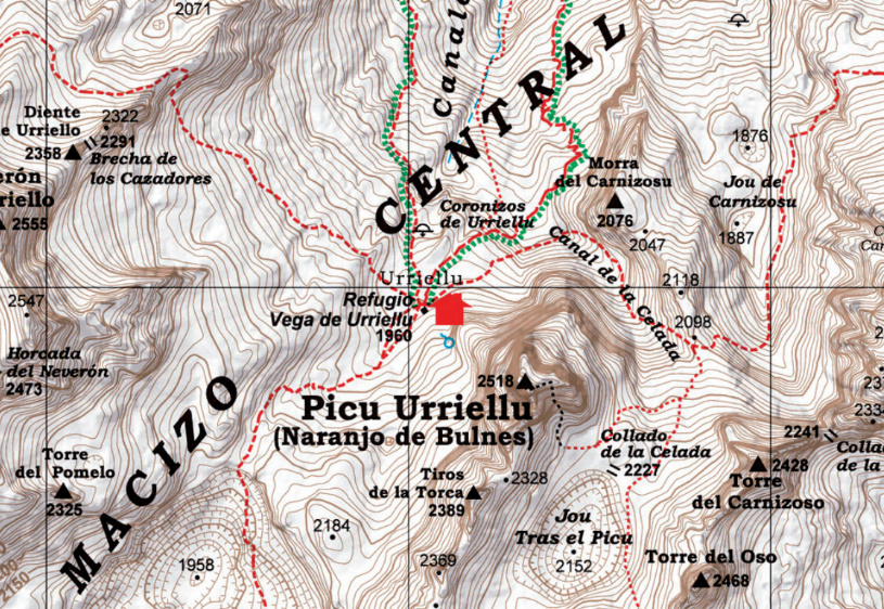
Two hiking maps
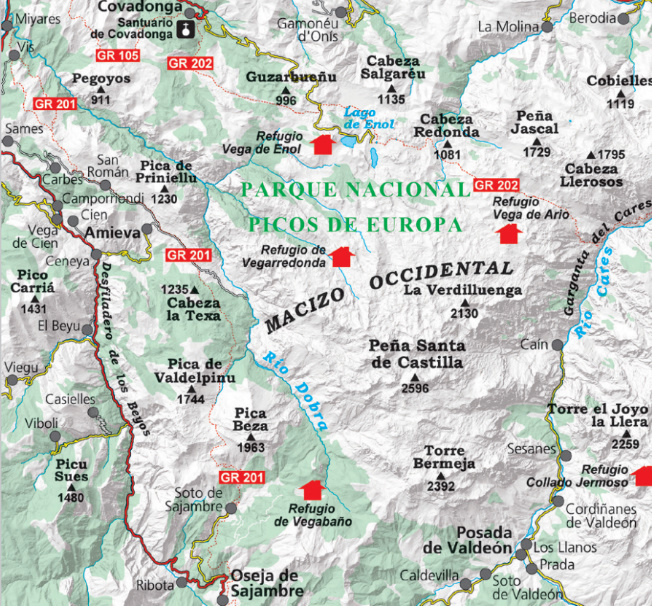
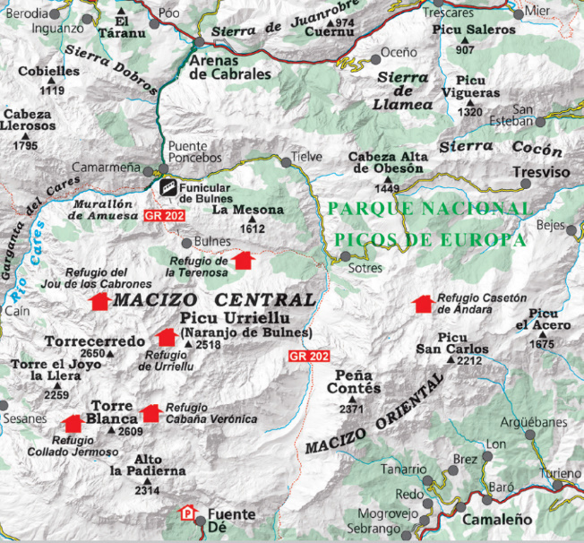
•Scale 1:25.000
•Equidistance contours: 20 m distance
•Master contours: at 100 m
•Shady relief
•Compatible with GPS
•Marked routes
•Land use symbolized at three levels


