Togo & Benin
1:530.000
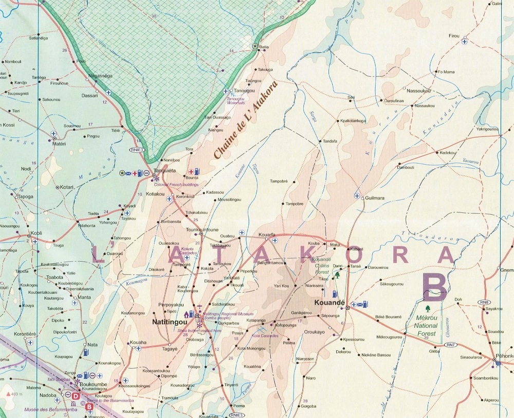
This second edition of this map of Togo & Benin is of great use to the intrepid traveller. Mapping a more way out spot on this planet, the map makes use of colour contouring with roads, rail, ferries and rivers well marked.
A range of symbols and graphics indicate points of interest, airports, ports, petrol stations, museums, religious buildings, lodgings, beaches, caves, golf courses, hospitals and so forth. Urban areas, forests and swamps are also indicated.
Topograpgy is shown using altitude shading and is single sided. Distances between points is shown in kilometres.


