it
wishlist
login
mail

contattaci

Cartografia

Carte escursionistiche, carte stradali e atlanti, cartografia d'Italia e di tutto il mondo. Carte dei sentieri, cartografia per il cicloturismo e mountain bike

Montagna

Guide alpinistiche, guide escursionistiche, manuali tecnici per l'alpinismo estivo ed invernale. Letteratura e filmografia di montagna

Mare

Manuali nautici, cartografia nautica, libri e letteratura per la barca a vela e motore

Viaggi

Guide turistiche per viaggi e letteratura di viaggio per l'Italia, l'Europa e tutto il Mondo

Militaria

Raccolta delle migliori pubblicazioni (libri e dvd) sulla guerra in montagna sulle Alpi e sul resto d'Italia e d'Europa
ricerca avanzata ricerca avanzata
indietro
Tanzania
ITMB | Carte stradali | Vancouver | 2017 | impermeabile | 10 x 25 | 1:1.370.000

Tanzania

1:1.370.000

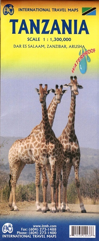
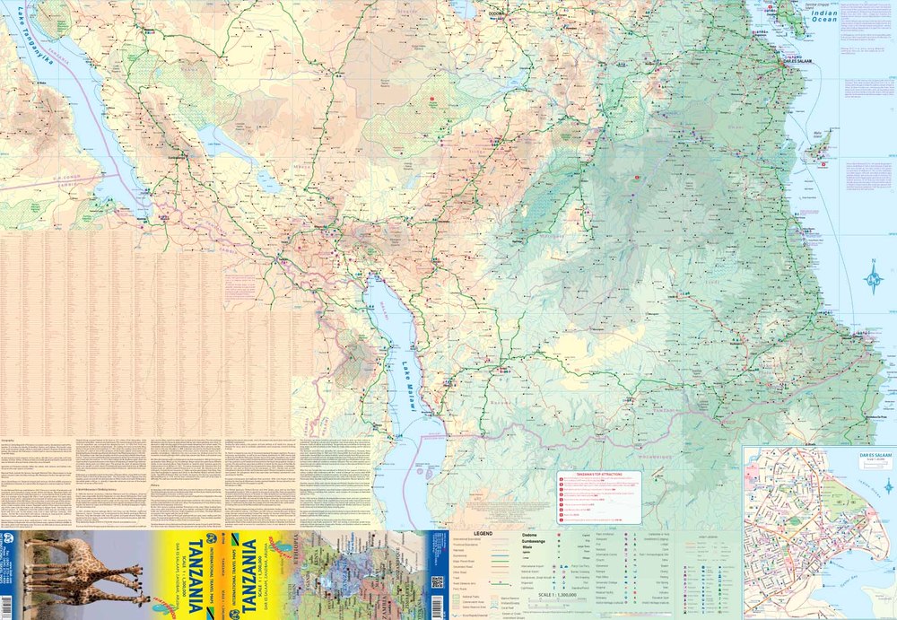
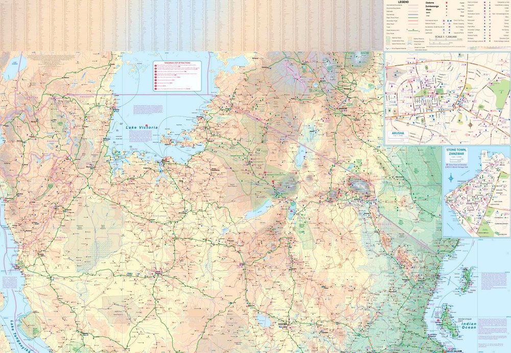
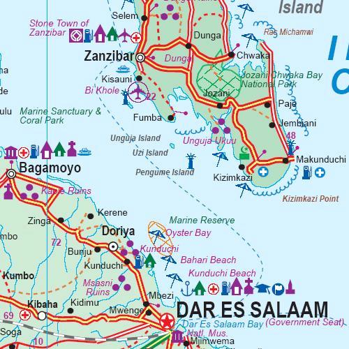
East Africa is one of the gems of eco-tourism, with its well-protected national parks and wildlife preserves. Tanzania is the best of the region, hosting the massive Serengeti Preserve, Mount Kilimanjaro, the amazingly fertile Ngorogoro Crater. Lake Nanyiki, and the vast grasslands of Selous. These are all shown on our map, as well as Lakes Victoria and Tanganyika, with roads, petrol stations, accommodation, and medical clinics included, whenever known. The map has an excellent inset map of Dar es Salaam, and insets of Arusha and Stone Town in Zanzibar. Printed on paper, double-sided.

Legend Includes:
Roads bz classification, Airports, Point of Interest, Vista, Ruin or Archaelogical Site, Information Centre, Museum, Campsites ot Huts, Hotel / Motel, World Heritage, Lodge, Mission, National Parks, Wetland / Swamp, Coral Reef and more. 

Impermeabile

aggiungi alla lista dei desideri
€ 11.00
quantità
- 1 +
spedizione :: Italia
Corriere espresso € 5.50
disponibilità
esaurito