


contattaci
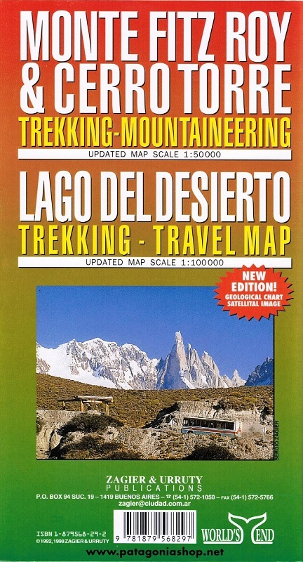
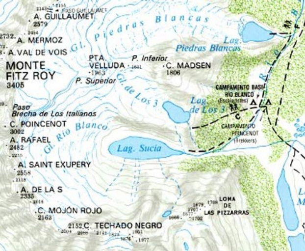
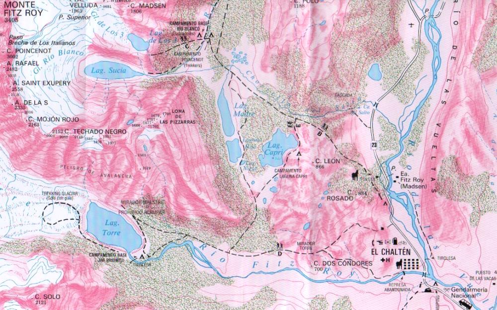
Trekking and mountaineering map based on aerophotography.
Relief, contours forms, glaciers, woods, camping and trails.
Geological chart and landsat image.
Includes Lago del Desierto and Route 23 that reaches the zone.
Also new trails and shelters. Landscape view of the peaks with their name and height.