Calazo
|
Norvegia |
01/2021 |
1:30.000 |
13 x 21
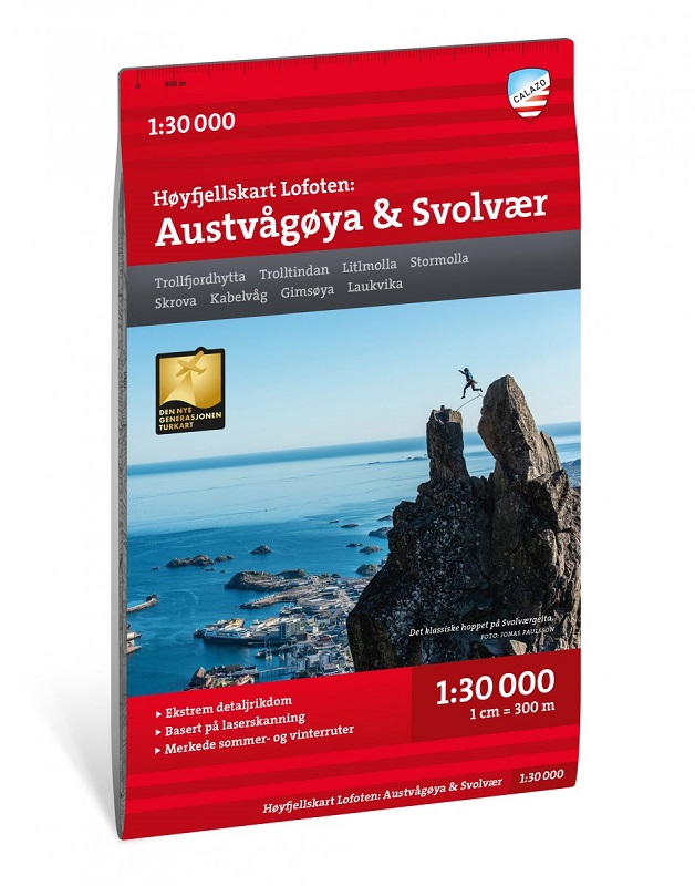
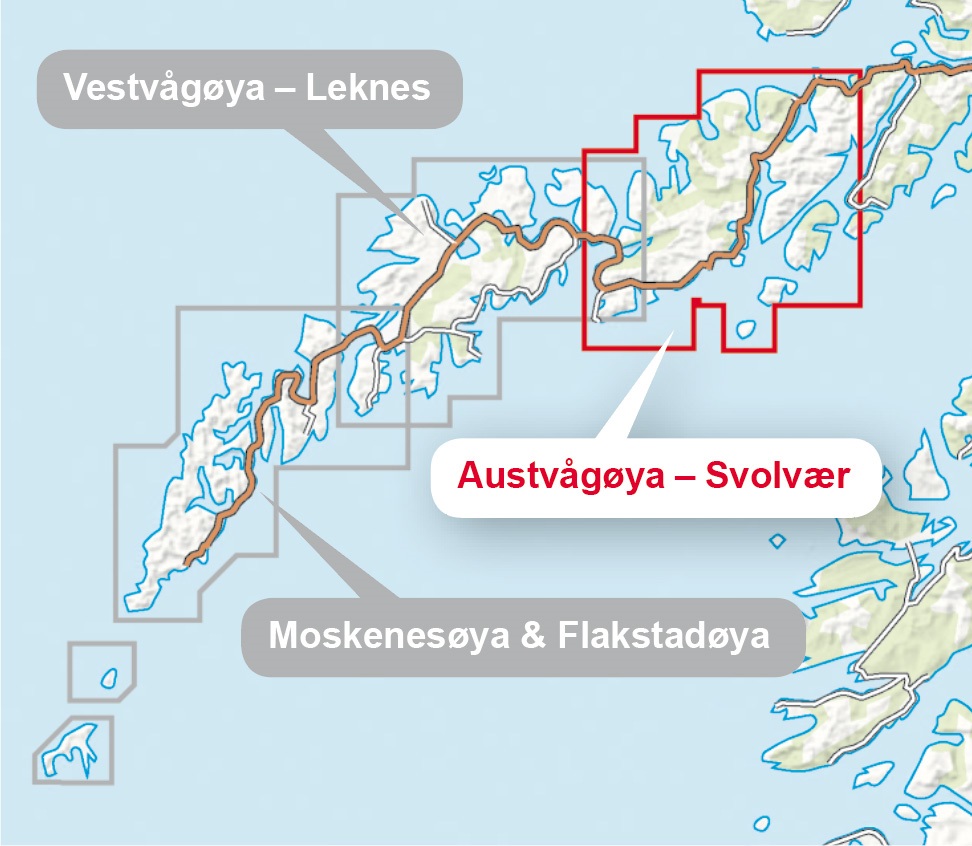
Lofoten: Austvågøya - Svolvær - Høyfjellskart
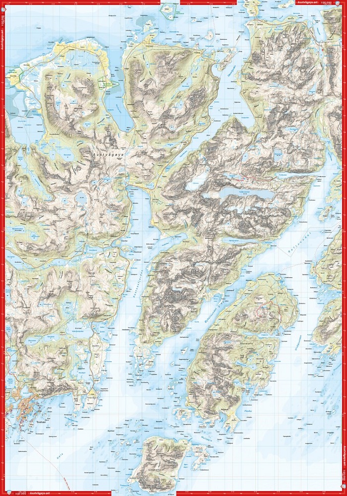
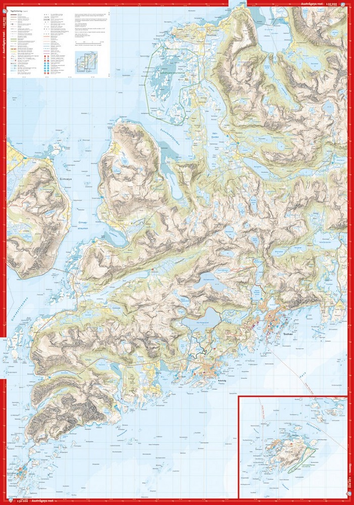
This is one of three unique maps with a wealth of detail that has never before been shown over Lofoten. The terrain information in the map is based on laser scanning from aircraft. For the first time, mountain slopes, larger rocks, waterways and glaciers appear with an accuracy that corresponds to reality. A map on a scale of 1:30,000 provides solid information and is of great help to those who go on summit trips, fish, climb or like to leave the marked paths in the valley floor and find their own routes up in the high mountains. It is made in the material Tyvek, which is water resistant, protected against tears and has a low weight.
Questa è una delle tre mappe uniche con una ricchezza di dettagli mai mostrata prima sulle Lofoten. Le informazioni sul terreno nella mappa si basano sulla scansione laser da un aereo. Per la prima volta, pendii montuosi, rocce più grandi, corsi d'acqua e ghiacciai appaiono con una precisione che corrisponde alla realtà. Una mappa in scala 1:30.000 fornisce informazioni solide ed è di grande aiuto per coloro che vanno in gita in vetta, pescano, scalano o amano lasciare i sentieri segnati nel fondovalle e trovare i propri percorsi in alta montagna. È realizzata in materiale Tyvek, che è resistente all'acqua, protetto dagli strappi e ha un peso ridotto.


