it
wishlist
login
mail

contattaci

Cartografia

Carte escursionistiche, carte stradali e atlanti, cartografia d'Italia e di tutto il mondo. Carte dei sentieri, cartografia per il cicloturismo e mountain bike

Montagna

Guide alpinistiche, guide escursionistiche, manuali tecnici per l'alpinismo estivo ed invernale. Letteratura e filmografia di montagna

Mare

Manuali nautici, cartografia nautica, libri e letteratura per la barca a vela e motore

Viaggi

Guide turistiche per viaggi e letteratura di viaggio per l'Italia, l'Europa e tutto il Mondo

Militaria

Raccolta delle migliori pubblicazioni (libri e dvd) sulla guerra in montagna sulle Alpi e sul resto d'Italia e d'Europa
indietro
Cile e Patagonia del Sud
ITMB | Carte stradali | Vancouver | 06/2019 | impermeabile | 10 x 25 | 1:1.770.000

Cile e Patagonia del Sud

La carta stradale ITMB del Cile del Sud e Patagonia è uno strumento dettagliato e indispensabile per viaggiatori e avventurieri. Questa mappa, realizzata da ITMB (International Travel Maps and Books), offre una rappresentazione chiara delle principali vie di comunicazione, strade secondarie e piste off-road in un'area caratterizzata da paesaggi mozzafiato e natura selvaggia. Include anche informazioni utili su attrazioni turistiche, parchi nazionali e città, rendendola ideale per esplorare le meraviglie della regione. Di facile lettura, è resistente e progettata per l'uso in esterni. Scala 1:1.770.000 1:2.200.000

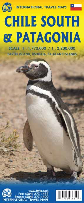
Road map Patagonia & Chili South

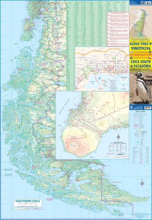
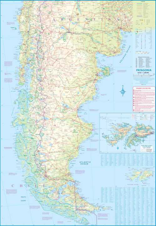
This map concentrates southern portion of Chile (known as the Austral) and Patagonia, which technically only exists in southern Argentina, but in reality can't be shown easily on a map without including the same area in Chile. Thus, one side concentrates on Chile south of Los Angeles in two long strip maps that go all the way to Cape Horn (or Hoorn, in Dutch) south of Tierra del Fuego. Although it has nothing to do with this part of Chile, we have also included the main portion of touristic Easter Island, an inset of what is popularly referred to as Robinson Crusoe Island and an inset map of Ushuaia. The other side shows all of Chile from Temuco south, and all of Argentina from Neuquen and Bahia Blanca south, with the Falklands correctly positioned in the South Atlantic and, no Las Malvinos non sont nuestros!

This edition is enhanced by adding a set of ‘must see’ destinations and by the addition of three inset maps: Easter Island (Chile); Ushuaia (Argentina), and the Falkland Islands (UK). The map itself is double-sided, with the entire area of coverage on one side, and a more detailed expansion of southern Chile (south of Puerto Montt) and Easter Island on the other side. I should advise that ITMB publishes more detailed separate maps of Easter Island and of Tierra del Fuego.

aggiungi alla lista dei desideri
€ 13.00
quantità
- 1 +
spedizione :: Italia
Corriere espresso € 6.00
disponibilità
mediamente spedito in 15/30 giorni
Aggiungi al carrello