it
wishlist
login
mail

contattaci

Cartografia

Carte escursionistiche, carte stradali e atlanti, cartografia d'Italia e di tutto il mondo. Carte dei sentieri, cartografia per il cicloturismo e mountain bike

Montagna

Guide alpinistiche, guide escursionistiche, manuali tecnici per l'alpinismo estivo ed invernale. Letteratura e filmografia di montagna

Mare

Manuali nautici, cartografia nautica, libri e letteratura per la barca a vela e motore

Viaggi

Guide turistiche per viaggi e letteratura di viaggio per l'Italia, l'Europa e tutto il Mondo

Militaria

Raccolta delle migliori pubblicazioni (libri e dvd) sulla guerra in montagna sulle Alpi e sul resto d'Italia e d'Europa
indietro
-5%
K29 Kitzbüheler Alpen
Kompass | Cartografia | Innsbruck | 09/2021 | Impermeabile | 11 x 18,5 | 1:50.000

K29 Kitzbüheler Alpen

GPS compatibile

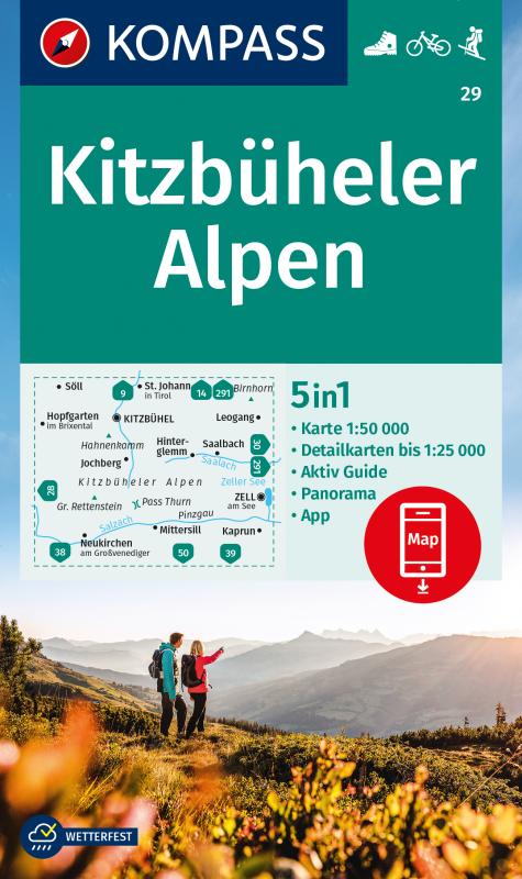
The 4in1 hiking map is now even clearer and easier to read. The hiking map is equipped with an additional panorama. The Aktiv Guide informs you about the outdoor topic and the free app on the go is also available. This forms the perfect basis for planning a hiking tour.

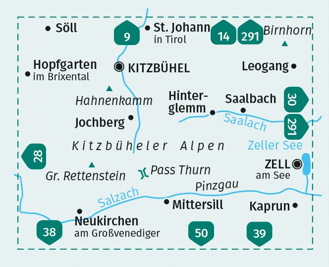
The precise cartography shows all walkways including classification. Information such as swimming pools, via ferrata, children's playgrounds, cabins and much more is also included on the map.

Thanks to the tear and weatherproof paper quality, the card is a faithful companion in any weather.

The GPS-accurate KOMPASS maps are perfect for your next tour! The user-friendly scale and useful information about the region make your planning easier. Each map contains everything worth knowing for the outdoor connoisseur: hiking and biking trails with markings depending on the level of difficulty, corresponding contour lines and vegetation forms as well as comprehensive tourist information.

Escursionismo
Ciclismo
Scialpinismo


aggiungi alla lista dei desideri
€ 13.30
invece di € 14.00
quantità
- 1 +
spedizione :: Italia
Corriere espresso € 6.00
disponibilità
mediamente spedito in 15/30 giorni
Aggiungi al carrello