


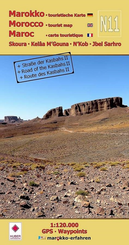
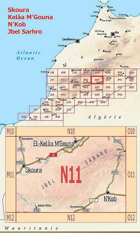
Trilingual (German / English / French) extremely detailed tourist map / travel guide of Morocco. Of the over 200 destinations marked on the map page, almost 100 are described in more detail on the travel guide page. Around 80 of them are provided with coordinates. Background information on history, sightseeing options and other special features is included. - Numerous rock engravings at several sites, e.g. in Foum Chenna and at Oued Ouigane - Numerous kasbahs around Toundoute, Skoura and El Kelâa M'Gouna - Khettaras in the Skoura oasis - N'Kob, the city of 45 kasbahs - Residential castles, e.g. B. in Sidi Flah and Ouled Merzoud- Rock engravings in Imi n'Oudraz, Tanoumrit and Handour- Stone circles- Geological features in Jbel Sarhro- Descriptions by Charles de Foucauld and Werner Wrage- Weekly market days (souks)The Jbel Sarhro - an extraordinary mountain massif - not only presents its geological features. Numerous storage castles, rock engravings and pre-Islamic monuments (tumuli?) testify to a long human presence. When hiking in the region, you can even come across small waterfalls and pools in almost untouched valleys that invite you to cool off.The plains around the mountain massif have also been settled for a long time. Numerous magnificent and sometimes very high clay buildings indicate a sophisticated construction method in which nothing was left to chance.Since settlement in Skoura was once only possible through the water supply via underground channels, a detailed text article deals with the history and construction of this extraordinary system - the Khettaras.The explorers Charles de Foucauld and Werner Wrage pay tribute to this region in their descriptions with great respect.Prof. Dr. Herbert Popp contributes two special aerial photographs from his archive.Cartographic advice by Prof. Dr. Uwe Ulrich Jäschke.