


A solid map with indications of, among other things, national parks, airport, petrol pump, dirt roads. Can be used as an overview map.
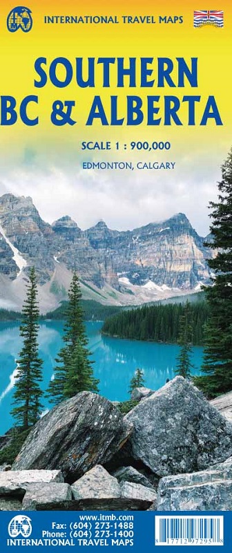
ITMB is pleased to announce the release of Southern BC and Alberta. Side One covers BC from the US border (with a carry-on to Seattle) north to Prince George and east to the Alberta border, with a carry-on to Calgary. All of Vancouver Island, the Okanagan Valley, and the Rock Mountain National Parks of Banff and Jasper, are included. The map is rich with wilderness campsite (almost 1,000 are shown, ski areas, fishing areas, even gas stations in more remote parts of the vast province. Side Two covers Alberta from somewhat north of Edmonton (the provincial capital) to the American border and a bit beyond, and from the Rocky Mountains east to a bit beyond the Saskatchewan border. This side focusses on the movement from the high Rockies to the foothills and plains of the enormous Canadian Prairies
- Population, River, Lake, Parks, First Nations/ Native Reserve, Point of Interest, etc.