


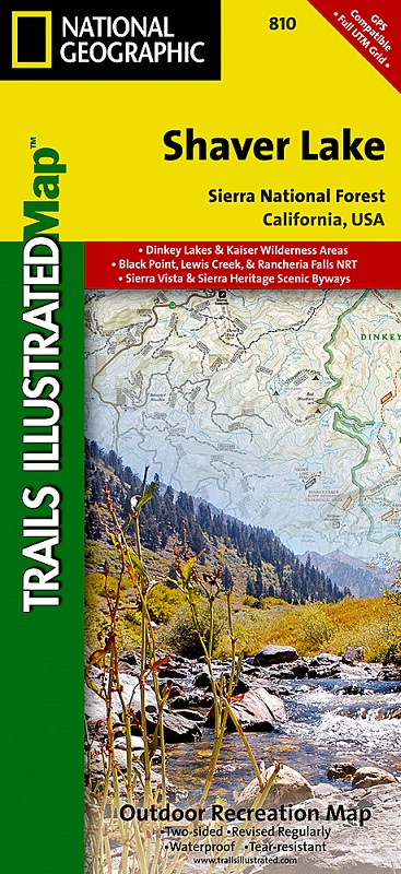
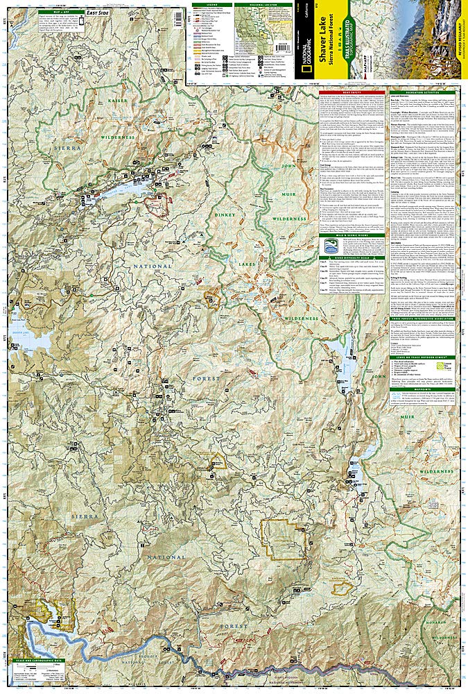
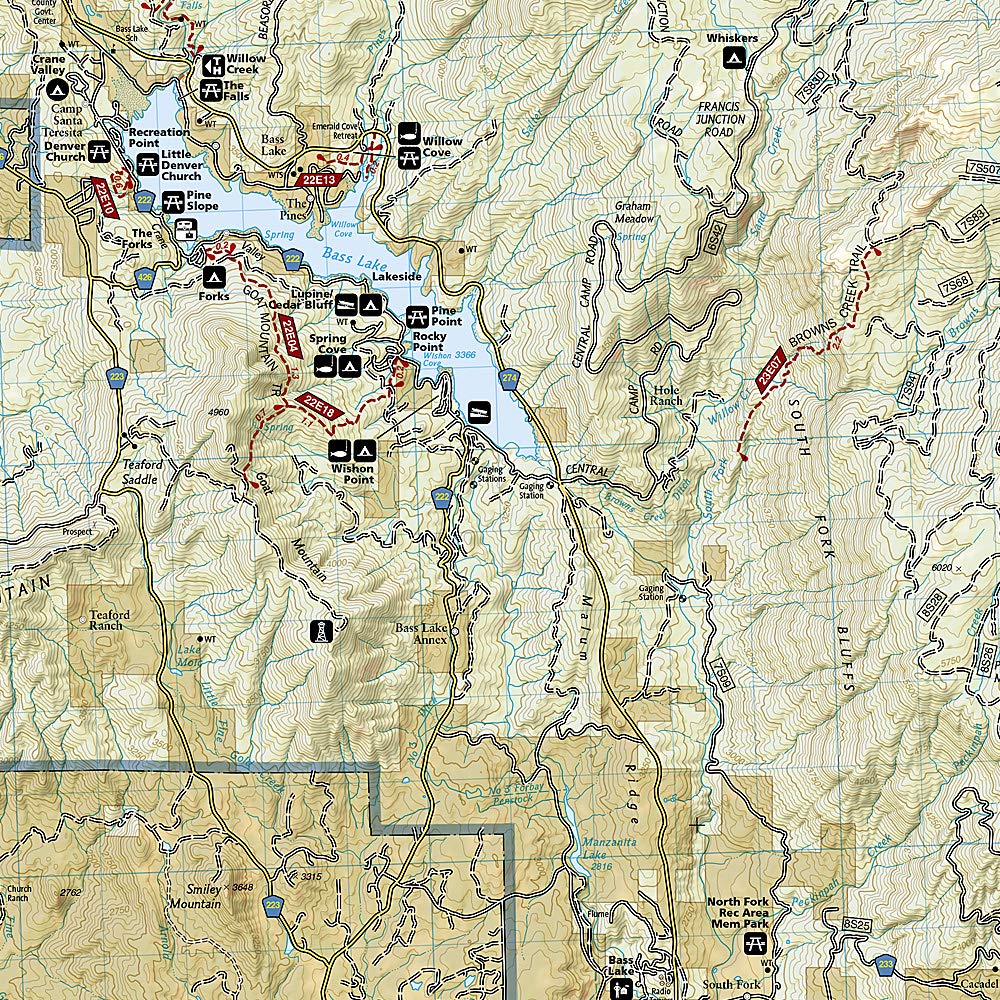
National Geographic's Trails Illustrated map of Shaver Lake will help all outdoor enthusiasts navigate their way off the beaten path and back again, around this very popular area of Sierra National Forest between Yosemite National Park and Sequoia National Forest. Clearly marked trailheads will point you to trails that are colored according to their designated usage and have mileage markers between intersections, including National Recreation trails like Columns of the Giants, Rancheria Falls and Lewis Creek Trail. The Kings Wild and Scenic River is also clearly shown along with a river difficulty scale chart, for whitewater rafting. Some of the other recreation features on the map are boat launch and river access points, ski areas, horse stables and scenic views.
This expertly researched map was created in partnership with the U.S. Forest Service, National Park Service and others. It contains descriptions of popular recreation sites, various safety tips, wilderness descriptions and camping regulations and useful contact information. The map base includes contour lines and elevations for summits and peaks. Some key points of interest are Kaiser, Dinkey Lakes, John Muir and Monarch Wildernesses, Millerton Lake State Recreation Area, Huntington Lake and Rancheria Falls. The Sierra Vista and Sierra Heritage Byway are indicated for those who prefer to explore the area by car.
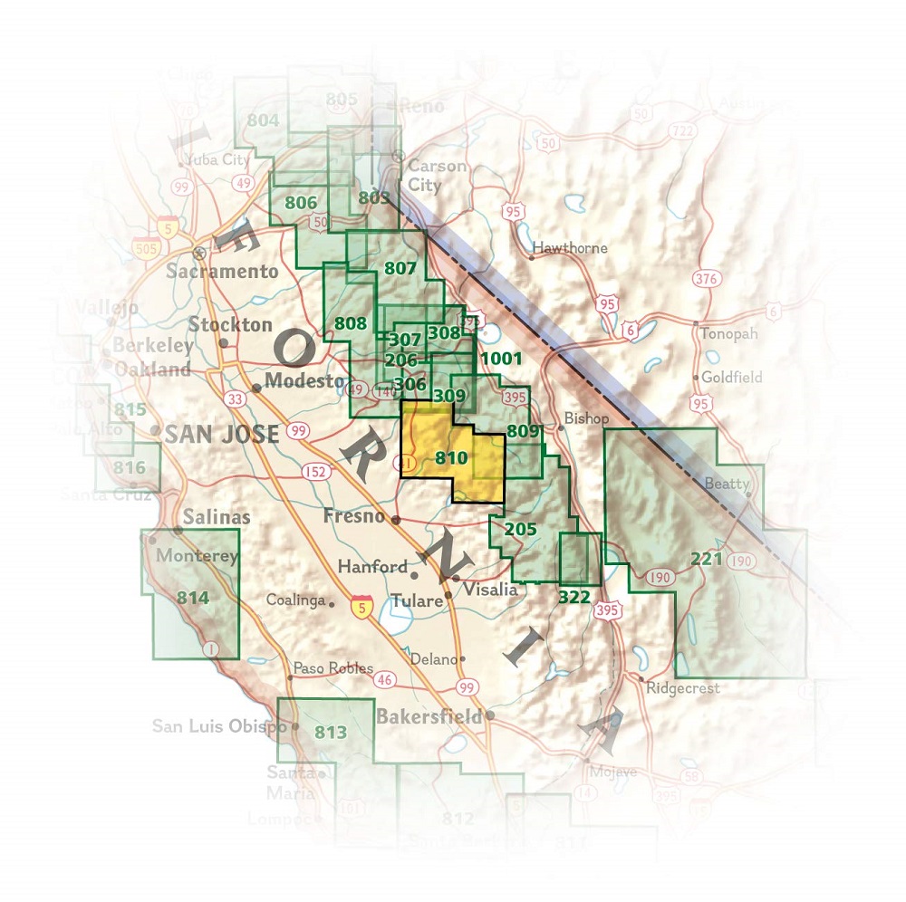
Other features found on this map include: Ansel Adams Wilderness, Bass Lake, Chowchilla Mountains, Courtright Reservoir, Dinkey Lakes Wilderness, John Muir Wilderness, Kaiser Wilderness, Mammoth Pool Reservoir, Nelson Mountain, Sequoia National Forest, Shaver Lake, Sierra National Forest, Wishon Reservoir, Yosemite National Park.