


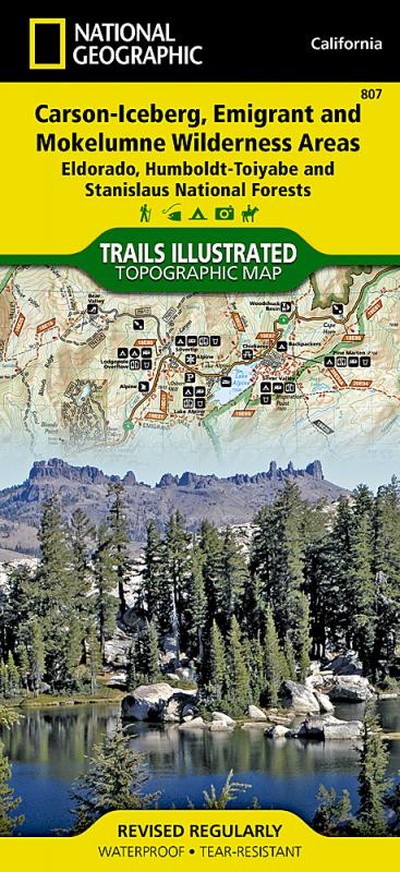
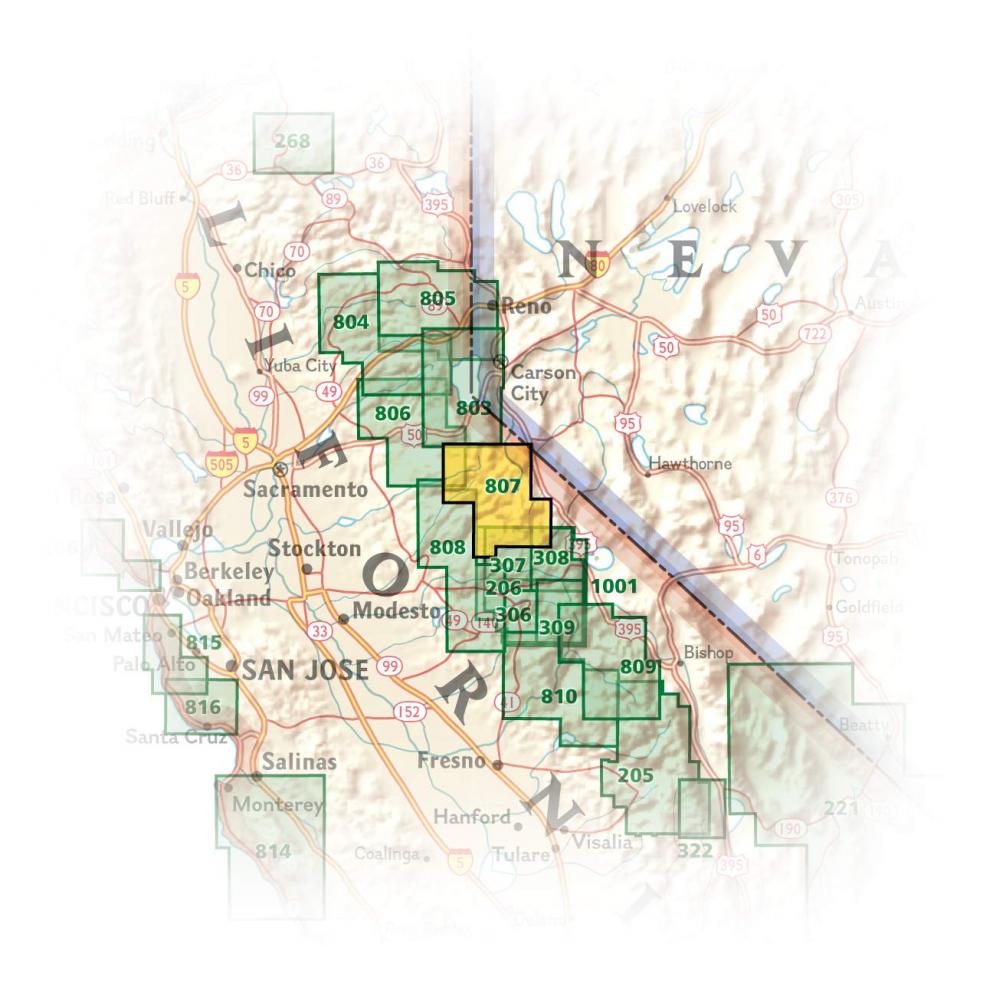
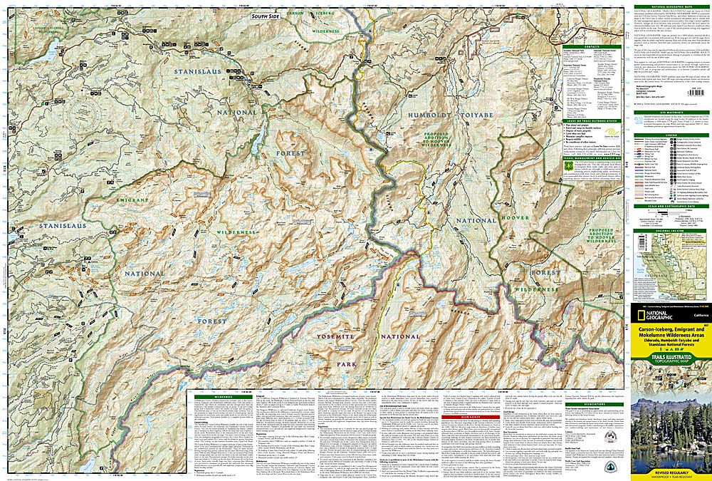
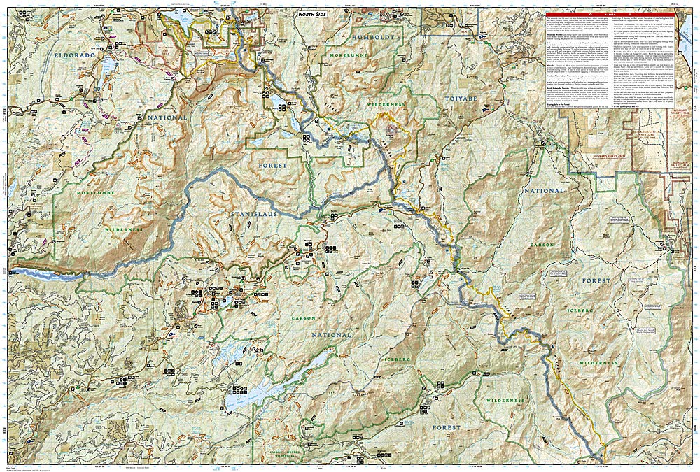
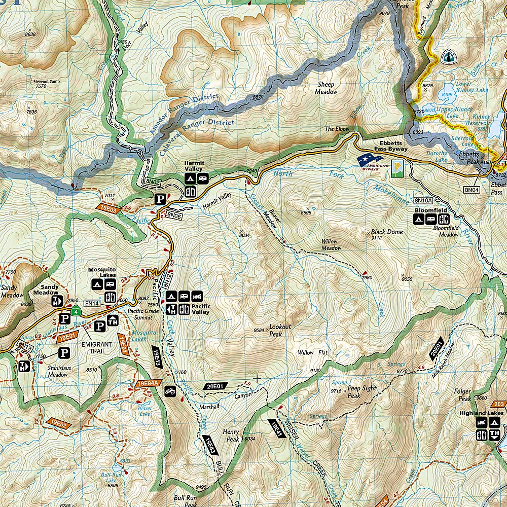
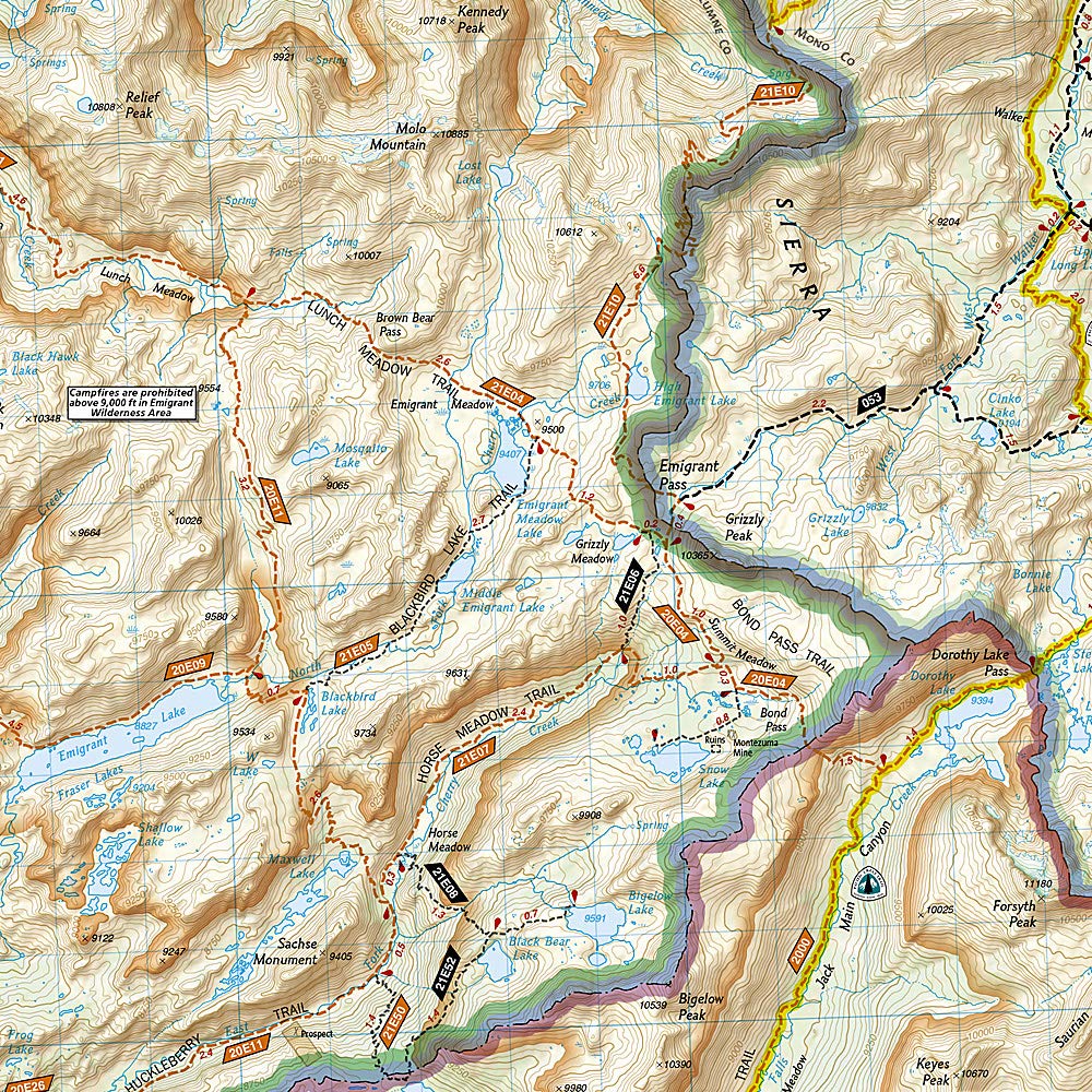
National Geographic's Trails Illustrated map of Carson-Iceberg, Emigrant, and Mokelumne Wilderness Areas provides both unmatched detail and valuable information for outdoor enthusiasts exploring California's Sierra Nevada. Expertly researched and created in partnership with local land management agencies, this map features key points of interest including Lake Alpine; Spicer Meadow Reservoir; Kirkwood Ski Area; portions of Eldorado, Humboldt-Toiyabe, and Stanislaus national forests; and sections of the West Walker, Middle Fork Stanislaus, and East Fork Carson rivers. An informative summary of each wilderness area, safety tips, and agency contact information are included as well.
Hundreds of miles of trails including portions of Pacific Crest Trail are clearly marked according to use, whether you're exploring on foot, horseback, bike, or motorized vehicle. Trail mileage between intersections will help you choose the path that's right for you. Ebbetts Pass and other scenic byways are noted for those wishing to take in the scenery by car. Some of the many recreation features include: snowmobile and ATV trails, ski areas, sno-parks, stables, pack stations, fishing and boat access, campgrounds, and trailheads. The map base includes contour lines and elevations for summits, passes and many lakes.
Other features found on this map include: Carson-Iceberg Wilderness, Eldorado National Forest, Emigrant Wilderness, Hoover Wilderness, Leviathan Peak, Mokelumne Wilderness, Night Cap Peak, Stanislaus National Forest, Toiyabe National Forest, Yosemite National Park.