


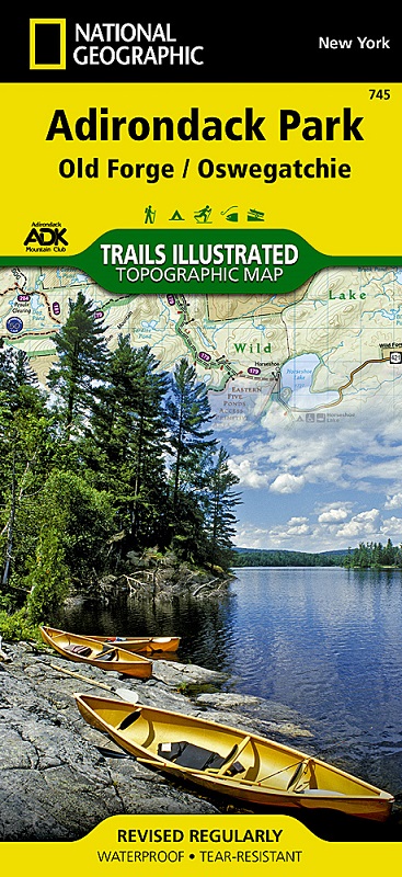
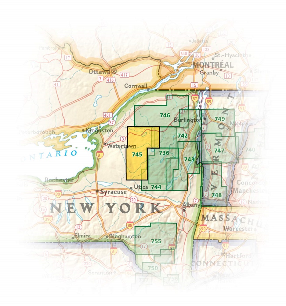
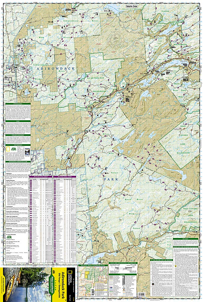
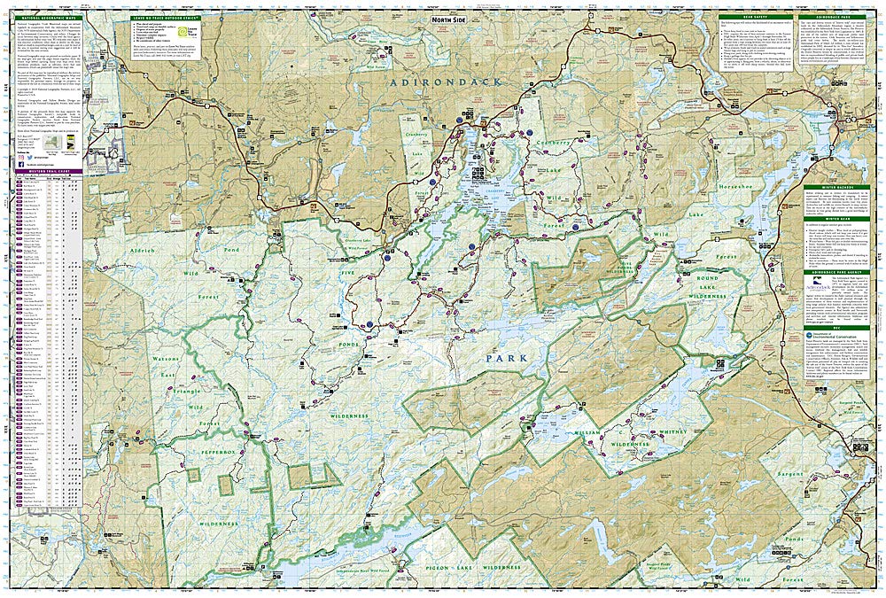
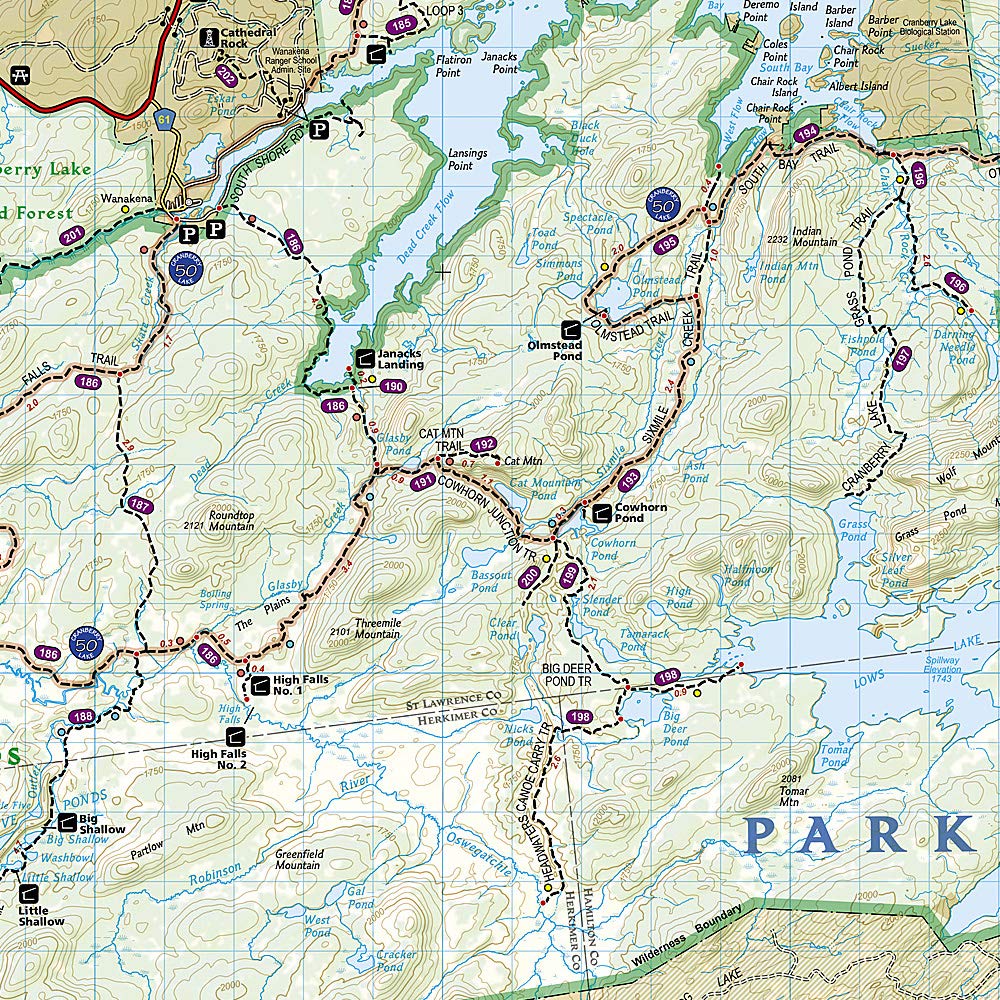
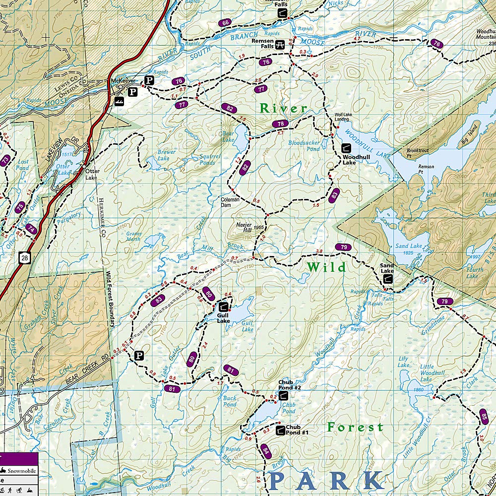
National Geographic's Trails Illustrated map of the Old Forge and Oswegatchie region of Adirondack Park is designed to meet the needs of outdoor enthusiasts by combining valuable information with unmatched detail of this beautiful park. Expertly researched and created in partnership with local land management agencies including the Adirondack Mountain Club, this map features key points of interest including Fulton Chain Lakes; William C. Whitney, Five Ponds, Pigeon Lake and Ha-De-Ron-Dah wilderness areas; Stillwater Reservoir; Independence River and Black River wild forests; and Tupper and Cranberry lakes.
Miles of trails including the Cranberry Lake 50 Trail are clearly marked with mileage between intersections to help you plan your excursions. Whether you enjoy hiking, horseback riding, biking, snowshoeing, cross country skiing, or snowmobiling, the extensive trail chart will help you choose a trail that's right for your activity level. Recreation features are clearly marked, including ski areas, campgrounds, fishing and canoe access, swimming areas, boat launches, and more. A variety of helpful safety information and outdoor recreation guidelines are included as well. The map base includes contour lines and elevations for summits, passes and major lakes.
Every Trails Illustrated map is printed on "Backcountry Tough" waterproof, tear-resistant paper. A full UTM grid is printed on the map to aid with GPS navigation.
Other features found on this map include: Adirondack Mountains, Fulton Chain Lakes, Hinckley Reservoir, Owls Head Mountain, Stillwater Reservoir, Tupper Lake.