


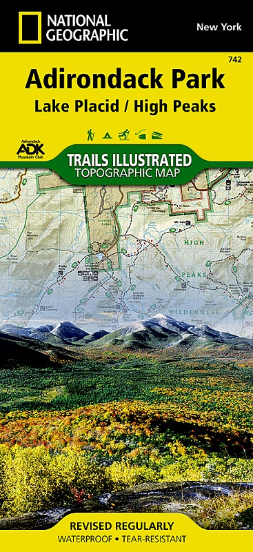
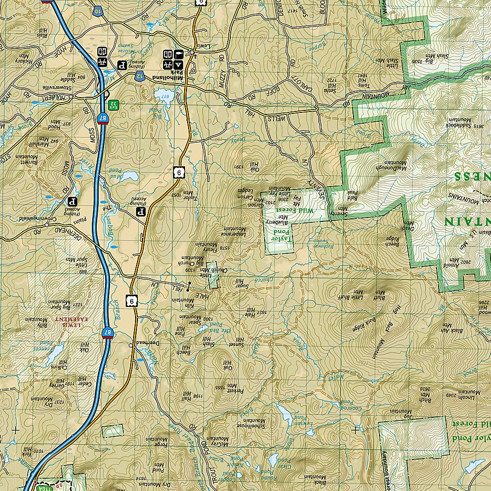
The largest park in the contiguous United States, Adirondack Park is a diverse mountain landscape of protected boreal forests and pristine waterways interspersed with over one hundred towns and villages. National Geographic's Trails Illustrated map of Adirondack Park combines unmatched detail with helpful information to offer an invaluable tool for making the most of your visit to this extraordinary region. Created in partnership with local land management agencies, this expertly researched map features key areas of interest including High Peaks Wilderness, Lake Placid, Sentinel Range Wilderness, Saranac Lakes Wild Forest, Lake Champlain, Giant Mountain Wilderness, Hurricane Mountain Wilderness, Split Rock Mountain Wild Forest, and Long Lake.
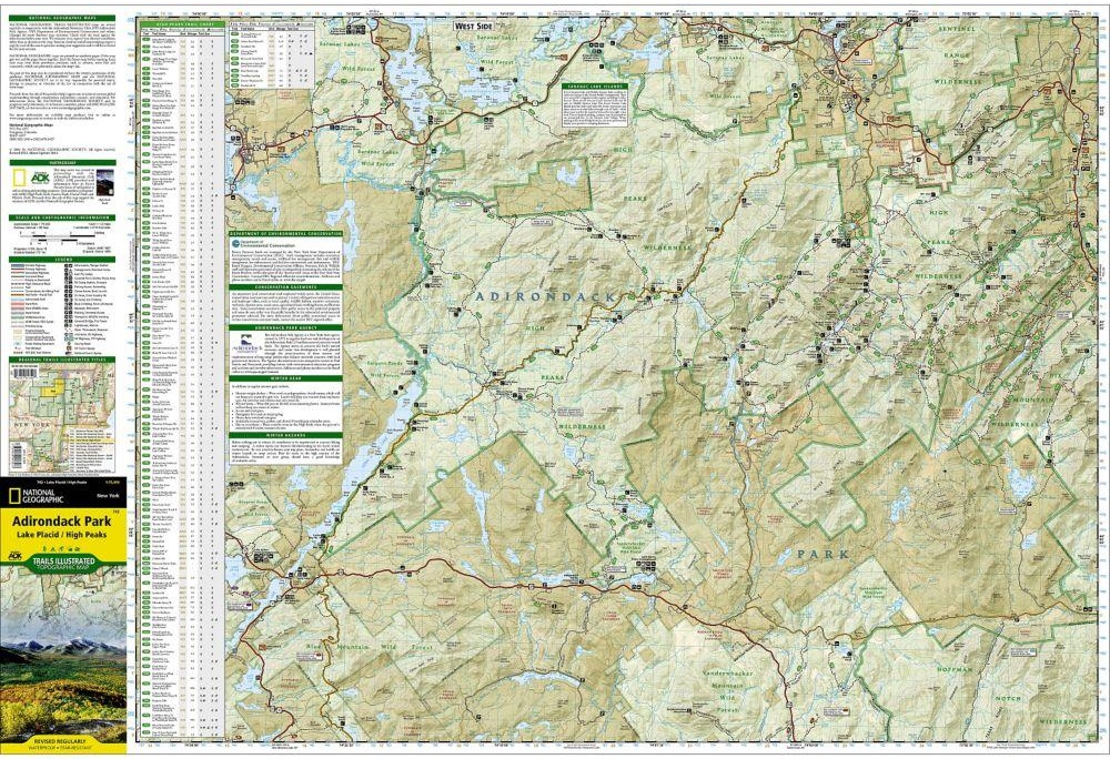
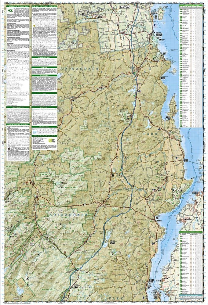
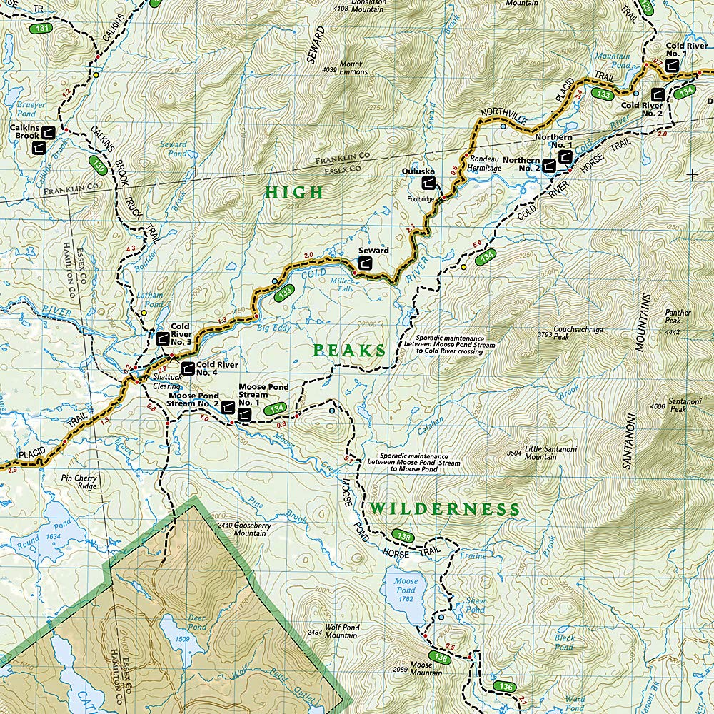
An extensive High Peaks Trail Chart will help you choose a trail that's right for your activity level and recreation use whether you're hiking, horseback riding, biking, snowshoeing, cross country skiing, or snowmobiling. Trails are clearly marked and include mileages between intersections. The map base includes contour lines and elevations for summits, passes and major lakes. Some of the many recreation features include: campgrounds, trailheads, fishing access, boat launch sites, and interpretive trails.
Other features found on this map include: Adirondack Mountains, Algonquin Peak, Ampersand Mountain, Ausable River, Basin Mountain, Boundary Peak, Dix Mountain, Gothics, Gray Peak, Iroquois Peak, Little Marcy, MacIntyre Mountains, Mount Haystack, Mount Marcy, Mount Skylight, Otter Creek, Owls Head Mountain, Sentinel Range, Split Rock Mountain, Street Mountain, Tupper Lake, Upper Saranac Lake, Vanderwhacker Mountain.