


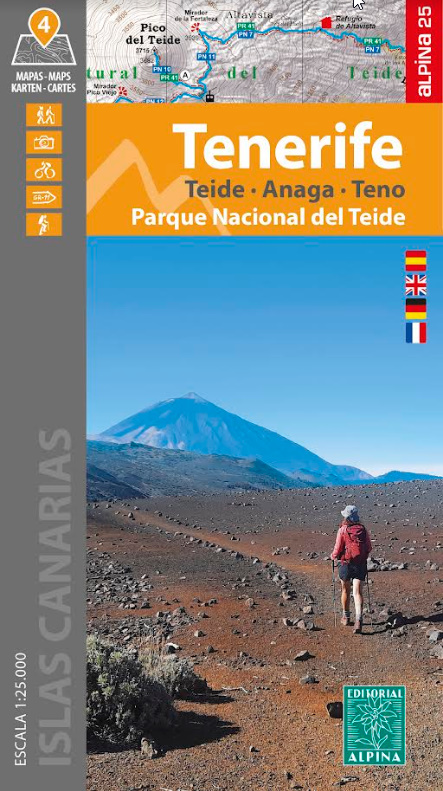
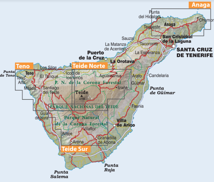
After the maps of La Palma and La Gomera, Editorial Alpina are pleased to present you a set of 4 maps of the most important hiking areas of the island: Anaga, Teno, Teide North and Teide South.
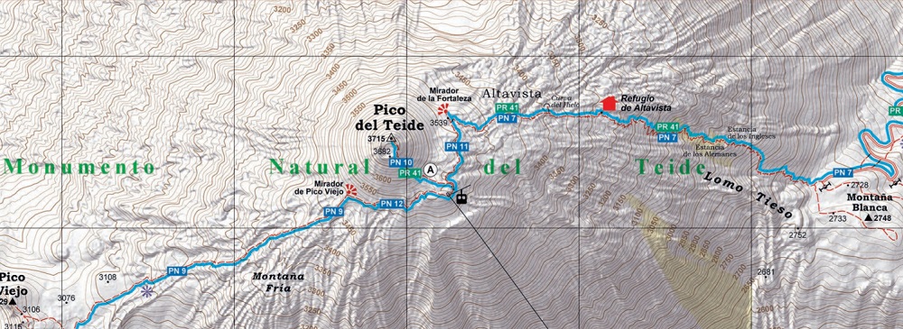
Its 1:25.000 scale gives an impressive detail of the extensive net of signposted footpaths (GR 131, PR, SL and National park routes) as well as important heritage sites (water sources, conduits, ltration galleries and threshing oors) and sites of touristic interest (viewpoints, campsites, information centres).
Its 1:25.000 scale gives an impressive detail of the extensive net of signposted footpaths (GR 131, PR, SL and National park routes) as well as important heritage sites (water sources, conduits, ltration galleries and threshing oors) and sites of touristic interest (viewpoints, campsites, information centres).
The folding fl ap includes:
• Information of interest
• Hikes
• Highlights
Languages: Spanish, English, French and German