


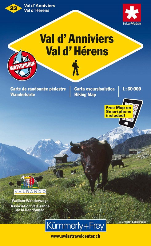
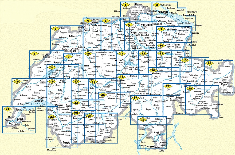
Kümmerly+Frey has created this series of hiking maps covering the whole of Switzerland in co-operation with cantonal and local walking path organizations. 32 sheets, guide you through Switzerland's most beautiful hiking and touring areas. Suggested walks are divided into the categories "walking path", "mountain path" and "alpine route". All maps feature useful additional information: accommodation, eating and drinking, bus-routes with stops, sports, leisure...etc
Maps with index and regional approach map, water- and rip-proof.
On each paper map you will find a unique access-code to download the digital map for free on your smartphone.
En collaboration avec les organismes cantonaux et locaux de randonnée pédestre, Kümmerly+Frey édite une série de cartes couvrant l'ensemble du territoire suisse. 33 feuilles d'itinéraires parcourant les plus belles régions de courses et de randonnée de Suisse, "idéale" pour la promenade. Les randonnées sont classées en "sentier de randonnée", "sentier de montagne" et "itinéraire alpin". Chaque carte contient des informations complémentaires utiles: logement, repas, lignes d'autobus avec arrêts, sport, loisirs...
Cartes avec index complet et carte d'accès à la région, imperméables et indéchirables.
Un atout supplémentaire: vous pouvez télécharger votre carte gratuitement sur votre smartphone. Votre code d'accès pour télécharger la carte se trouve sur la carte.