Cartisan
|
Armenia |
1/2019 |
12,5 x 23,5 |
1:25.000
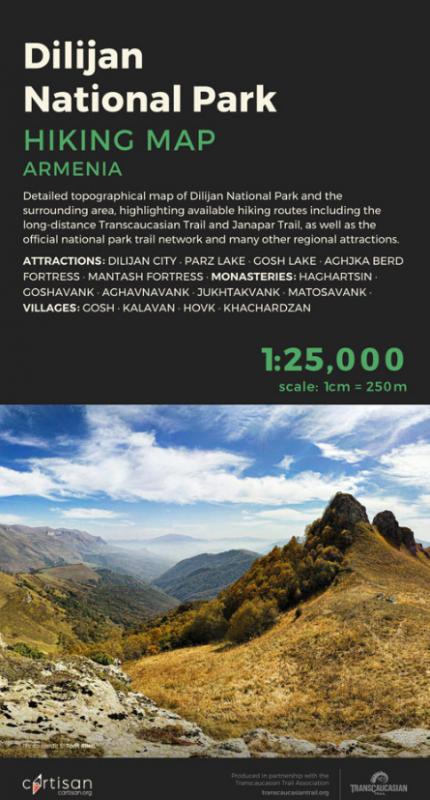
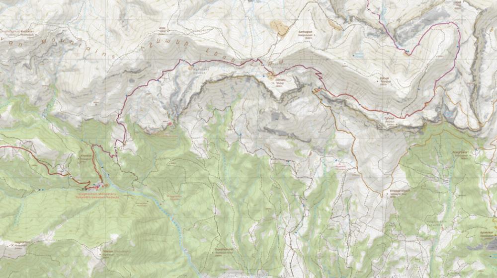
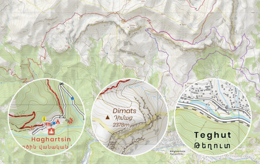
Dilijan National Park (Armenia)
Hiking map
We hope the main purpose of the map is obvious: to plan and navigate your hike, and ultimately get home safely!
Specific benefits of this map for outdoor enthusiasts include:
- Topographical detail at a scale of 1:25,000 – the 'gold standard' for mountain hiking, equivalent to the British Ordnance Survey 'Explorer' series and the Swisstopo series – helping you interpret and navigate tricky terrain with ease,
- Bilingual labels for named locations such as towns, villages, peaks and rivers, allowing you to cross-reference with local signage and show the map to the locals,
- Highlighting of key cultural-historical sites, including the famous monasteries of Haghartsin, Goshavank, Juhktakvank, Matosavank and Aghavnavank,
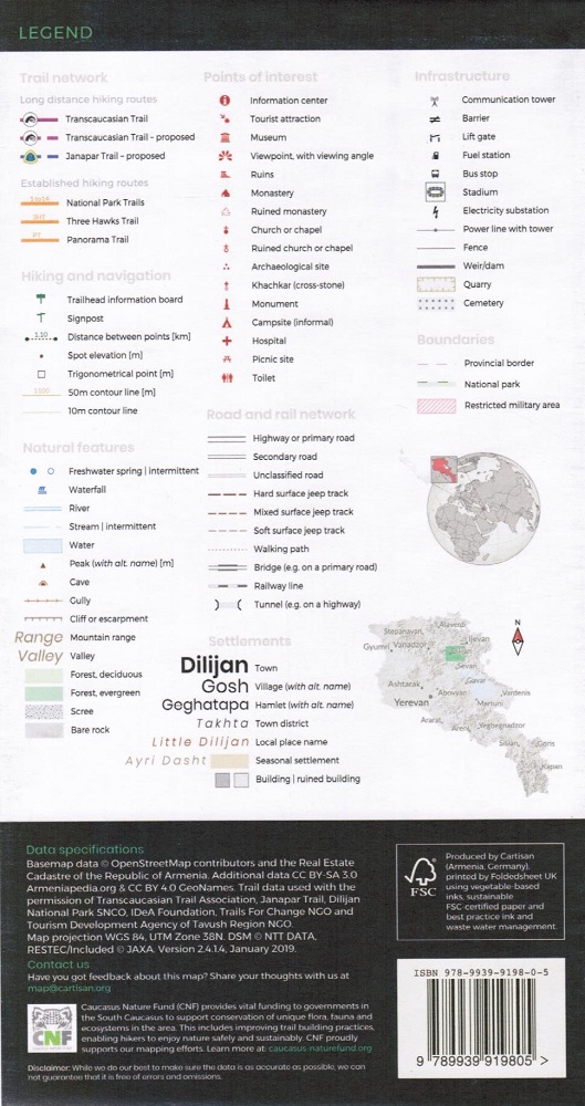
- Highlighting of more than 200km of waymarked and signposted trails, including all official National Park trails as well as the routes of the long distance Transcaucasian and Janapar trails,
- Plotting of all known amenities of interest to hikers, including freshwater springs, picnic shelters, trailhead information signs, public toilets, seasonal herding encampments, bus stops, pharmacies and more,
- Accurate mapping of critical terrain detail such as cliffs, caves, rivers, gullies, scree slopes and boulder fields, as well as spot elevations and named peaks.


