


Escursionismo, Ciclismo
Hiking map of the South Tyrolean Wine Route, Unterland, Strada del Vino, Bassa Atesina: The map for hiking, cycling and many other activities in nature. Kompass hiking maps are easy to read and still contain all the information you need for a perfect hiking tour, a cycle ride or an excursion. They depict nature at the right scale. Countless additional information is continually checked and expanded by the cartography team. The precise cartography includes all official hiking trails with names and trail numbers (such as long-distance trails), cycle paths (with trails), via ferratas, inns and huts, parking spaces, buses and trains, ski tours and cross-country ski trails, springs, swimming areas and much more. This makes the map ideal for discovering new destinations, planning tours and finding your way around on the go. An intuitive map image of the landscape is created by the depicted vegetation, contour lines, rock drawings and the shading (shadows) of the mountains.
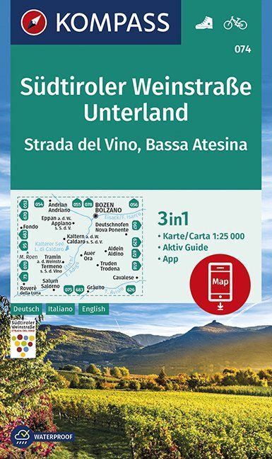
Features of the hiking map South Tyrol Wine Route, Unterland, Strada del Vino, Bassa Atesina:
Scale 1:25,000: 1cm on the main map corresponds to 250m in nature.
Thanks to the tear- and weatherproof paper, the map can survive any weather Map section can also be used offline in the Kompass hiking map app.
Active Guide: additional booklet with lots of information about the region.
About the region: The South Tyrol Wine Route leads through the picturesque Unterland and the Bassa Atesina. Here, vineyards line up one after the other, lined with historic villages such as Kaltern and Kurtatsch.
Primary language: German