


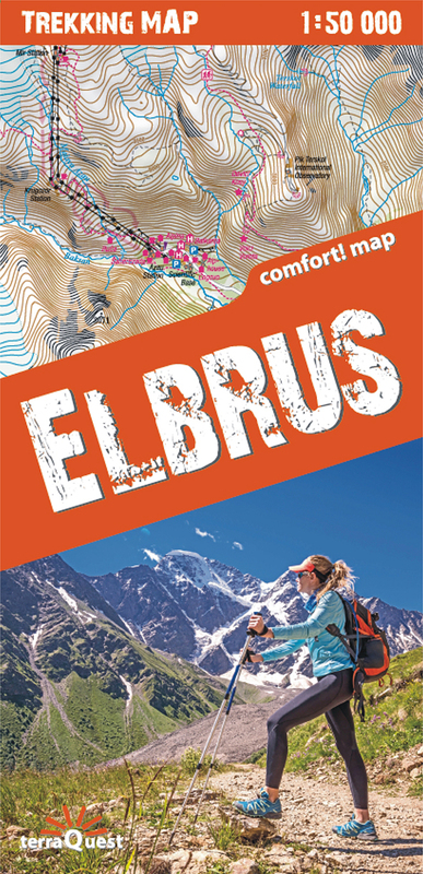
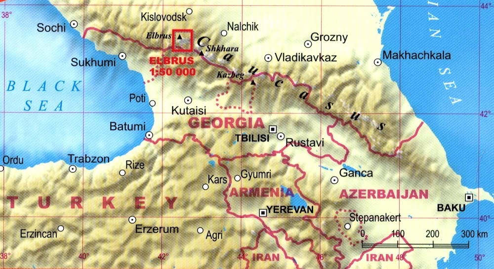
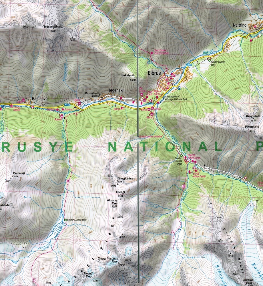
An excellent, perfectly comfortable to use trekking map of the highest peak of the Caucasus Mountains. It has been created especially for active people setting off for trekking in the region. It is one of the few maps showing the whole terrain of the Mount Elbrus massif, together with the areas of the Caucasus Mountain main range adjoining in the south at the border with Georgia. The publication stands out for its precise topographic and touristic content. It contains a legend in six languages: English, German, French, Spanish, Italian and Polish.
The map is characterized by:
– rich touristic content, with trekking routes, natural attractions, accommodation and other objects of interest marked on it,
– shading relief showing the lie of the land,
– compatibility to the GPS – geographical coordinates in WGS-84 system