


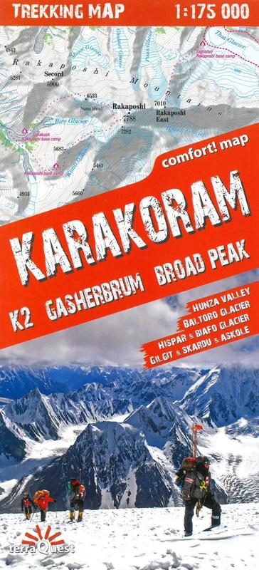
Central part of the Karakoram Range on a waterproof and tear-resistant, double-sided map at 1:175.000 from terraQuest, with coverage extending from Gilgit and the Karakoram Highway to the peaks of K2 and Gasherbrum. The map is presented in a special format, handy for conveniently viewing just small sections of it at one time.
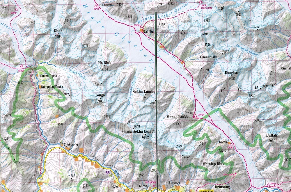
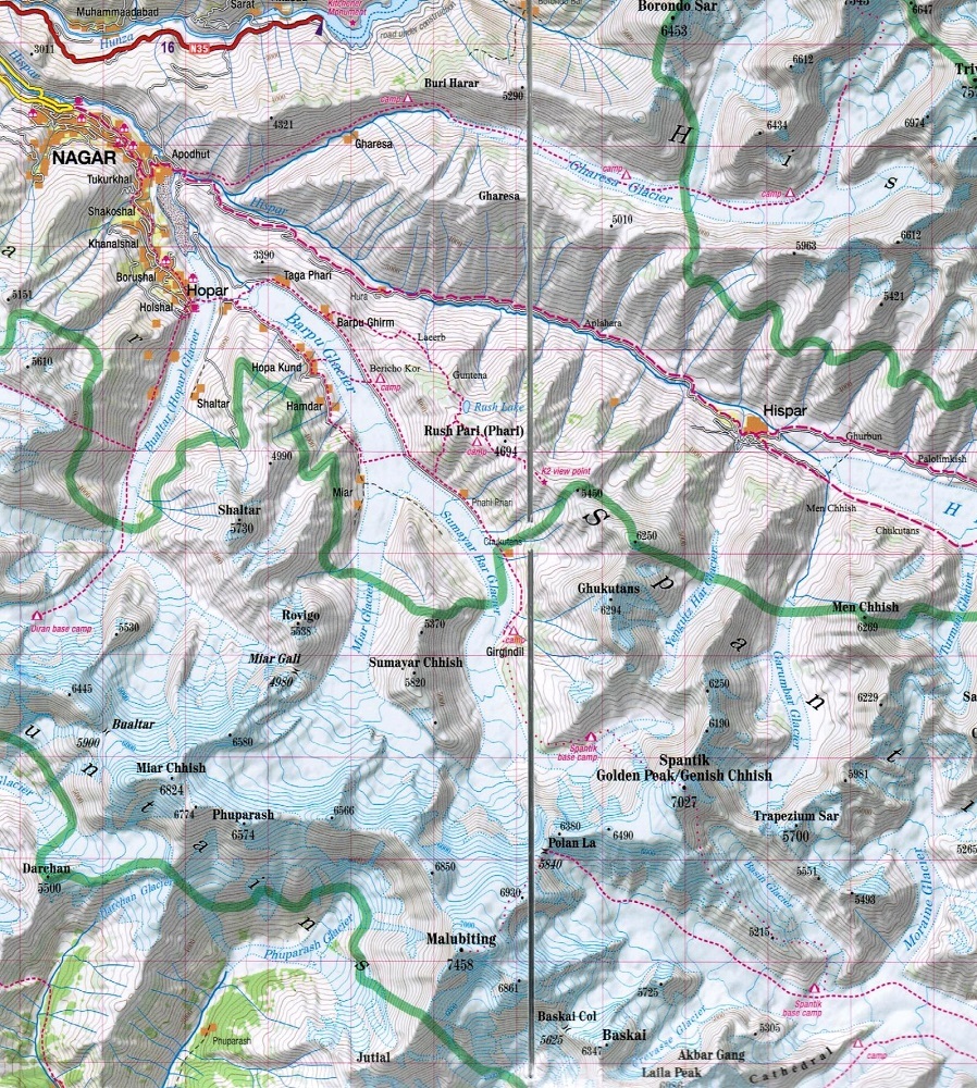
With Gilgit and the Karakoram Highway in the north-west and Karimabad (Baltit) on the northern edge of the map, coverage extends eastwards across the Karakoram National Park to include the peaks of Baintha Brakk (Ogre) and Latok, and southwards across K2, Broad Peak (Falchan Kangri) and the Gasherbrums to the road linking Skardu and Khapalu. Topography is vividly presented by contours at 100m intervals enhanced by relief shading, plus numerous spot heights/peak names and colouring for glaciers and different types of vegetation. An overprint highlights trekking and climbing routes and symbols show different types of tourist accommodation (hotels, tourist cottages, bivouac places), restaurants and grocery stores, banks, medical facilities, etc. Interesting locations, including the main peaks of the region, are prominently highlighted. Road network indicates unpaved routes and tracks, and gives distances on main routes. The map has a latitude and longitude grid at intervals of 2’. Map legend includes English.