it
wishlist
login
mail

contattaci

Cartografia

Carte escursionistiche, carte stradali e atlanti, cartografia d'Italia e di tutto il mondo. Carte dei sentieri, cartografia per il cicloturismo e mountain bike

Montagna

Guide alpinistiche, guide escursionistiche, manuali tecnici per l'alpinismo estivo ed invernale. Letteratura e filmografia di montagna

Mare

Manuali nautici, cartografia nautica, libri e letteratura per la barca a vela e motore

Viaggi

Guide turistiche per viaggi e letteratura di viaggio per l'Italia, l'Europa e tutto il Mondo

Militaria

Raccolta delle migliori pubblicazioni (libri e dvd) sulla guerra in montagna sulle Alpi e sul resto d'Italia e d'Europa
indietro
Mani Western(249)
Terrain | Atene | 07/2018 | impermeabile | 13 x 25 | 1:25.000

Mani Western(249)

The hiking map of Western Mani at 1:25.000, covers an area of 670 sq.km in the south of Peloponnese. This mountainous area with the deep ravines and rocky mountain slopes abounds with age-old trails and cobbled paths, all of which are accurately marked on the map with point-to-point distances, on a 20m contoured background. The routes of the international E4 trail and the national trail 32 are recorded, as well as all the ascent paths to the highest peak of Mt.Taygetos.

The map depicts the entire road network of the region, while scenic routes are marked with green shading. The coastline is mapped in detail, noting the location and names of all the beaches. Also marked are the campsites and gas stations, as well as all historic monuments and sites such as towers, castles, monasteries, chapels and archaeological sites.

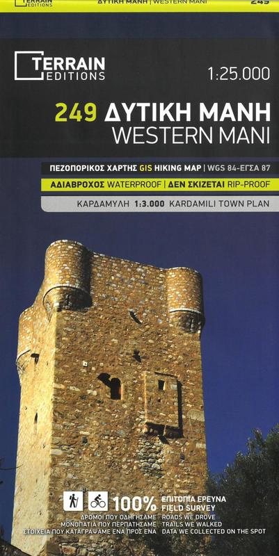
An inset 1:3,000 town plan of Kardamyli is included, marking all guesthouses, restaurants and shops of interest to visitors.

aggiungi alla lista dei desideri
€ 12.00
quantità
- 1 +
spedizione :: Italia
Corriere espresso € 6.00
disponibilità
mediamente spedito in 15/30 giorni
Aggiungi al carrello