


contattaci
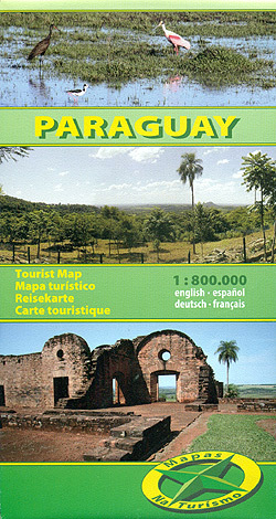

Paraguay at 1:800.000 on an indexed, double-sided map from Mapas NaTurismo – German publishers specialising in coverage of Central and South America, with detailed presentation of the road network, national parks, etc.
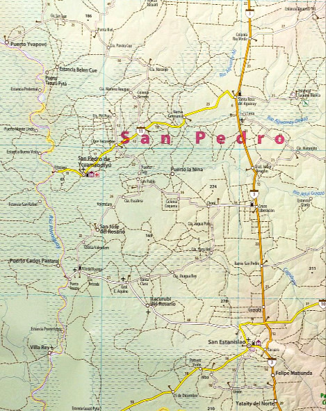
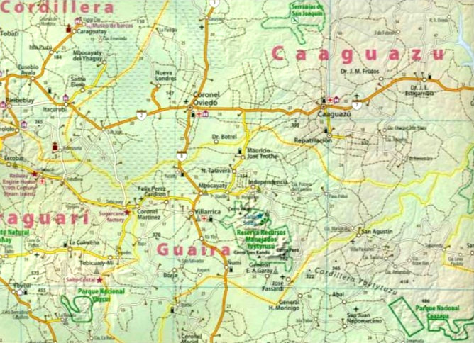
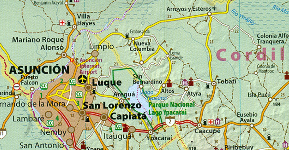
The map is double-sided, dividing the country north/south, with a generous overplay between the sides. Topography is presented by relief shading and altitude colouring, with spot heights and graphics indicating swamps, palm tree or papyrus groves and areas of yerba mate cultivation. National parks and other protected areas a prominently highlighted and the map also indicates important bird watching areas.
Road network indicates dirt roads and includes seasonal tracks, showing distances on all roads and selected tracks, plus locations of fuel supplies and border crossings. Railway lines are included and domestic airports are marked. Also shown are internal administrative boundaries with names of the provinces.
A range of symbols highlight various places of interest including campsites, locations with hotels/lodges, churches of different religious orders, UNESCO World Heritage sites, horse riding facilities, etc. The map is indexed and has latitude and longitude lines at intervals of 30’. Map legend includes English.