


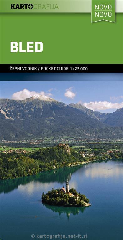
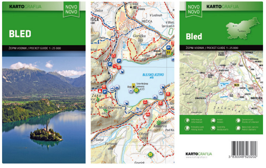
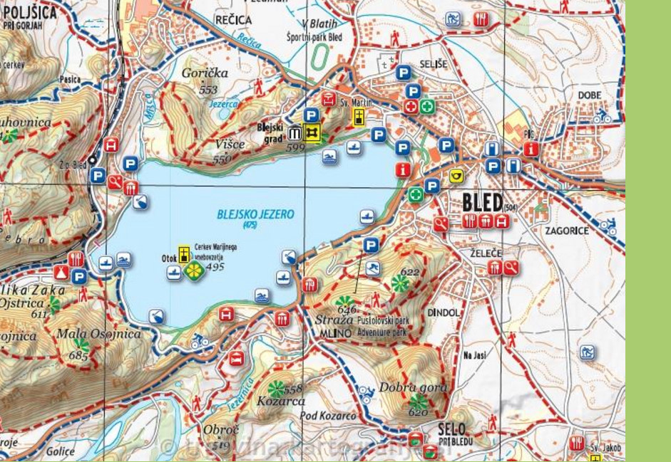
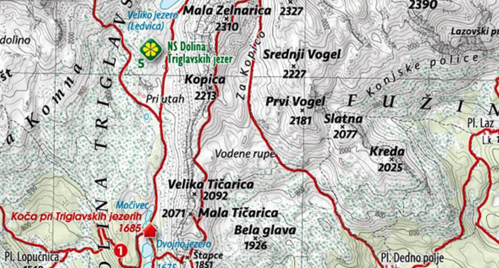
Bled and its lake in the Julian Alps at 1:25,000 on a contoured, GPS compatible pocket map from Kartografija highlighting hiking and cycling trails, plus extensive notes about the area and its sights, lists of tourist accommodation, recommendations for restaurants and tavernas, etc.
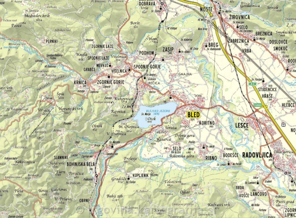
Kartografija’s pocket hiking maps at 1:25,000 show walking trails and cycling routes, along with numerous tourist facilities and recreational sites. Topography is shown by contours at 20m intervals enhanced by relief shading and graphic relief to show exposed rocky areas, plus colouring for woodlands. Hiking trails and cycling routes are prominently highlighted, and symbols indicate locations of various accommodation options including campsites and mountain huts, sport and recreational sites and facilities, natural features of particular interest, etc. The maps have a grid with latitude and longitude lines at 1’ intervals. Map legend includes English.
On the reverse each map has extensive bilingual Slovenian/English text with more tourist information, illustrated with colour photos.