


contattaci
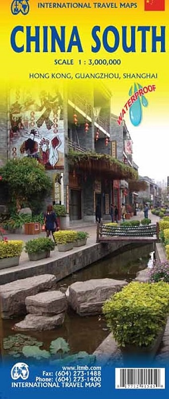
Southern, or rather south-eastern China but with coverage extending west to Lhasa, on a double-sided, waterproof and tear-resistant, indexed map at 1:3,000,000 from ITMB with additional panels showing more detailed road maps of Hong Kong and the Guangzhou region, plus street plans of central Hong Kong, Kowloon, Guangzhou and Shanghai. All place names are in the Latin alphabet.
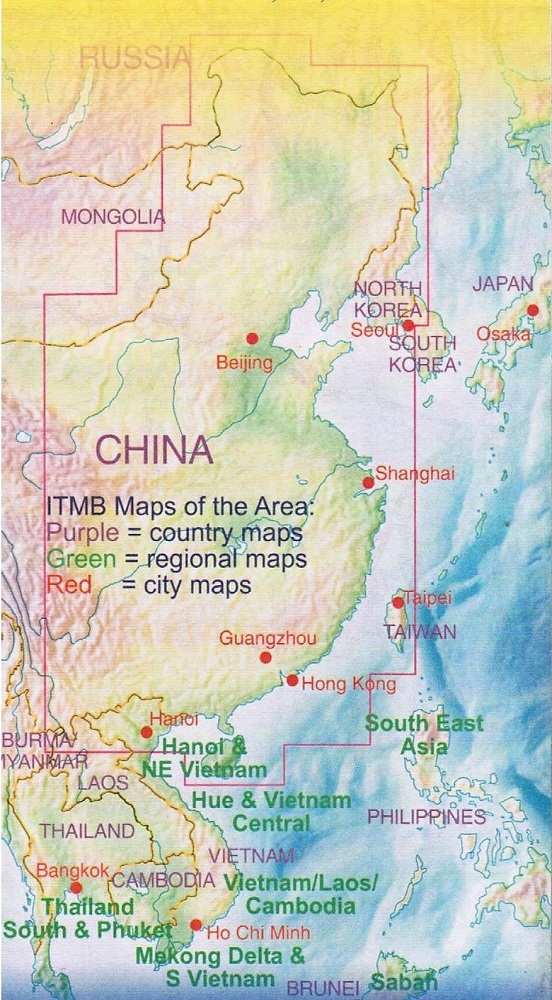
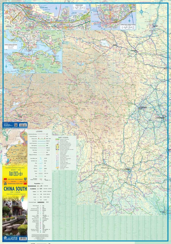
Coverage on the eastern side of the map starts at Zhengzhou, so north of Shanghai, Nanjing and Xi’an, includes Taiwan and extends south to the border and the Hainan Island. On the western side, with the small overlap, the map includes Lanzhou and Yinchuan and extends west to Lhasa, but without full coverage of north-eastern Tibet. The map shows the region's road and rail networks on a base with altitude colouring (bands in feet, spot heights in metres). Driving distances are marked on main and on many provincial highways. Railway lines are included and local airports are marked. Symbols highlight various places of interest. The map has latitude and longitude lines at intervals of 2º. Each side of the map has a separate index.
Additional panels present in greater detail road maps covering most of the Hong Kong Special Administrative Region (1:60,000) and the Guangzhou region including access to Hong Kong, Shenzhen and Macau (1:850,000), plus four street plans covering central Shanghai, Guangzhou, Hong Kong and Kowloon. Each plan clearly indicates metro stations and highlights selected hotels, shopping facilities, places of interest, etc.