


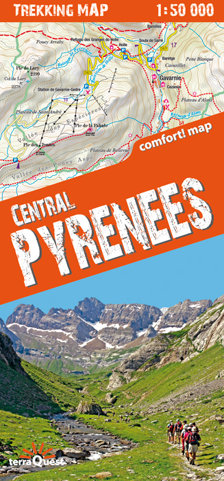
The central part of the French Pyrenees on a waterproof and tear-resistant, contoured and GPS compatible map at 1:50,000 from terraQuest, highlighting hiking trails, campsites and refuges, etc. The map is presented in a special format handy for conveniently viewing just small sections of it at one time.
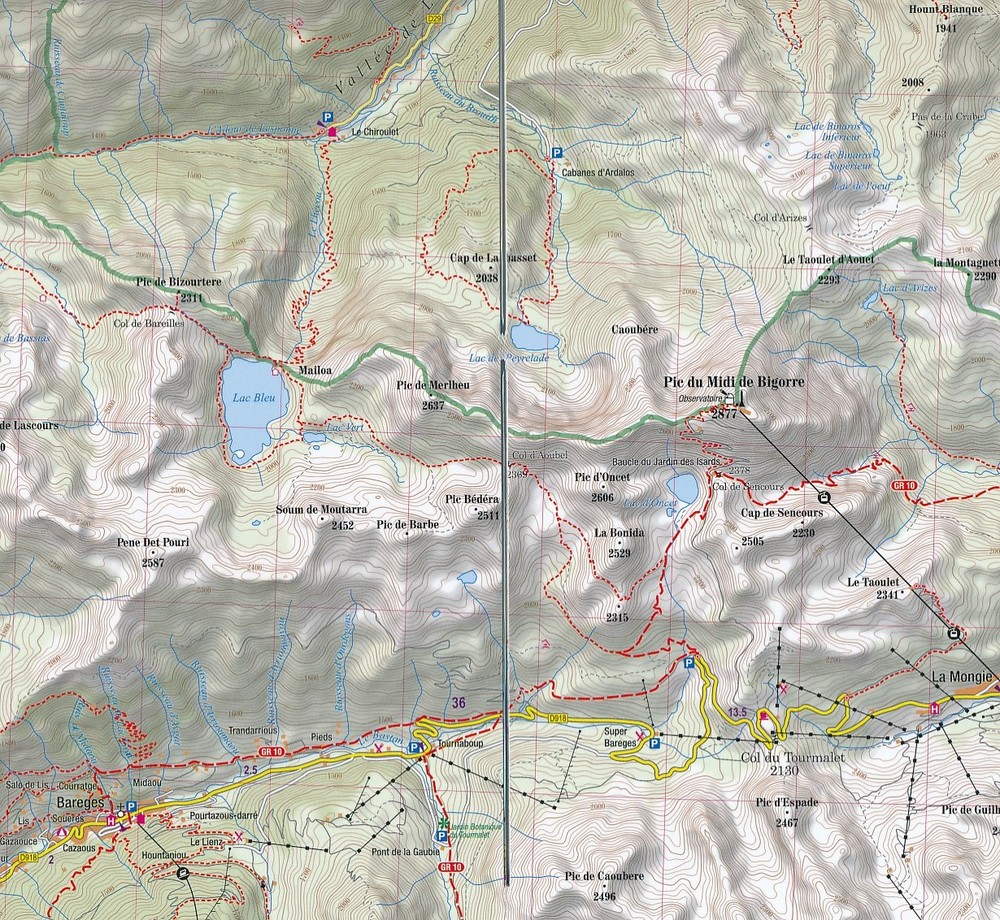
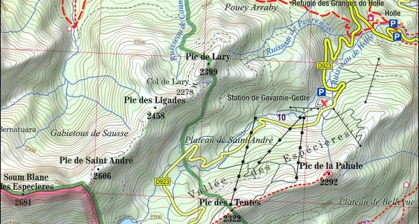
Coverage extends north to the towns Lourdes, Bagnères-de-Bigorre and Capvern, and along the Spanish border from the peak of Vignemale in the west to Pic de la Pez. Topography is presented by contours at 20m intervals enhanced by relief shading, plus spot heights for local peaks. Numerous hiking trails are highlighted and symbols indicate different accommodation options (campsites, refuges and shelters, hotels), restaurants and cafes, various places of interest, etc. The contoured mapping and highlighting for the trails continues on the Spanish side, indicating cross-border trails, although the map itself does not extend much beyond the border. Please note: the course of the GR10 is clearly marked but not the HRP (Haute Randonnée Pyrénéenne).. Local roads show locations of car parks and petrol stations. The map has latitude and longitude lines at intervals of 1’. Map legend includes English.
The map is laminated in a format similar to the old cloth-dissected maps so that sections of it can be easily folded back without damage, and can be annotated with write-on/wipe-off marker pens.