


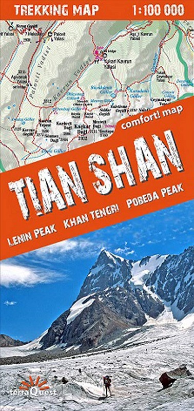

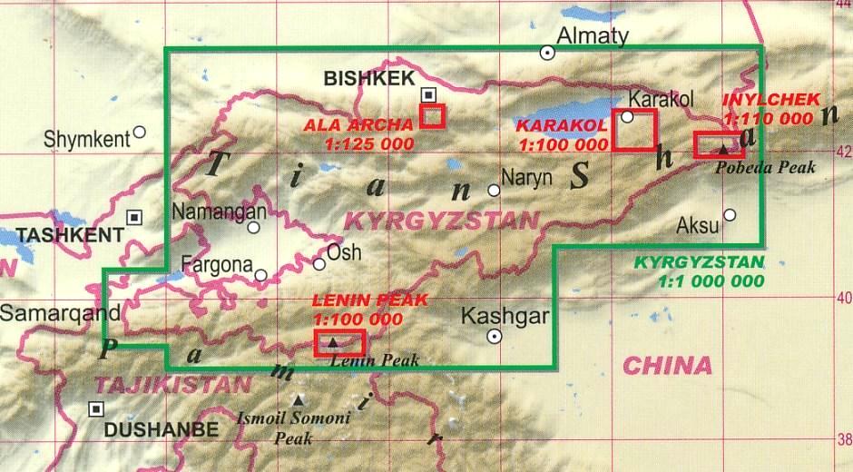
Double-sided, waterproof and tear-resistant, contoured and GPS compatible map from TerraQuest, covering the whole of Kyrgyzstan at 1:1,000,000, with additional panels providing more detailed coverage for trekking at scales between 1:100,000 and 1:125,000 and covering the Karakol region, Ala-Archa, Inylchek area with Jengish Chokusu (Pobeda Peak) and Khan Tengri, plus the Lenin Peak (Peak Achiktash) border area.
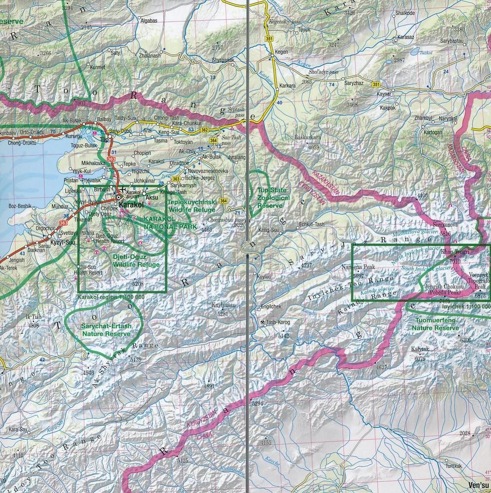
The map of Kyrgyzstan provides a very good presentation of the country’s geography through satellite-based relief and plenty of names of topographic features. National parks and other protected areas are highlighted. Road network shows distances on main routes. Symbols indicate various facilities and places of interest, including local airports, tourist information offices, etc. Latitude and longitude grid is at 10’ intervals.
Multilingual map legend includes English.
The map of Kyrgyzstan clearly shows which areas are presented in greater details on enlargements with contours at 50m intervals with numerous spot heights, relief shading, plus colouring for glaciers and forested areas. Trekking routes are marked, indicating more difficult sections and base camps. Symbols show locations with hotels and other tourist accommodation, restaurants and tourist information points. Latitude and longitude grid is at 1’ intervals.
The map is laminated in a format similar to the old cloth-dissected maps so that sections of it can be easily folded back without damage.