


Forbidden Plateau(BC) Digital Topo/rec map
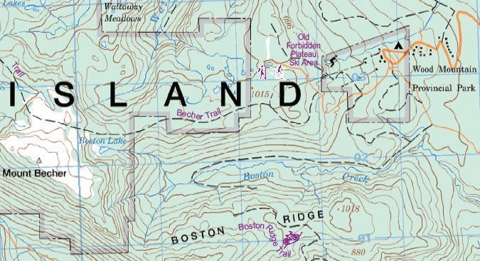
British Columbia’s Vancouver Island is a treasure trove of mountains and valleys waiting to be explored. The plateau, on the eastern side of the island, is neither forbidden nor formidable, but a major hiking and recreation area for local residents and visitors. Using Canada’s NTS topographic maps as a base, and adding all the touristic and outdoors activities we could find, we have created a double-sided map of two adjacent recreational areas. Campbell River itself is a fairly small, but attractive town. The map, however, is of the region west of the town, not particularly of the town itself, so both side concentrate on the touristic potential.