


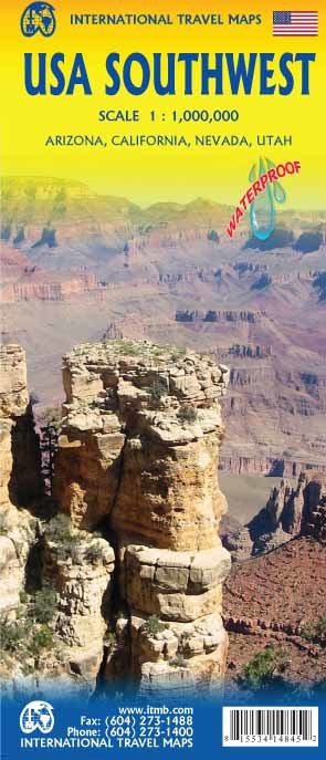
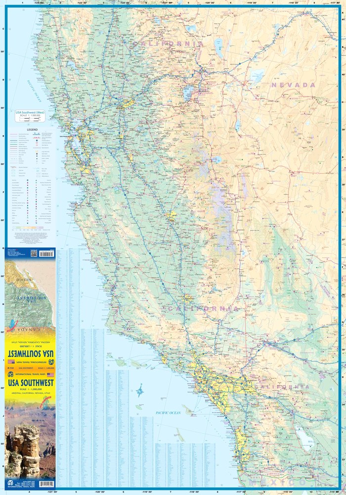
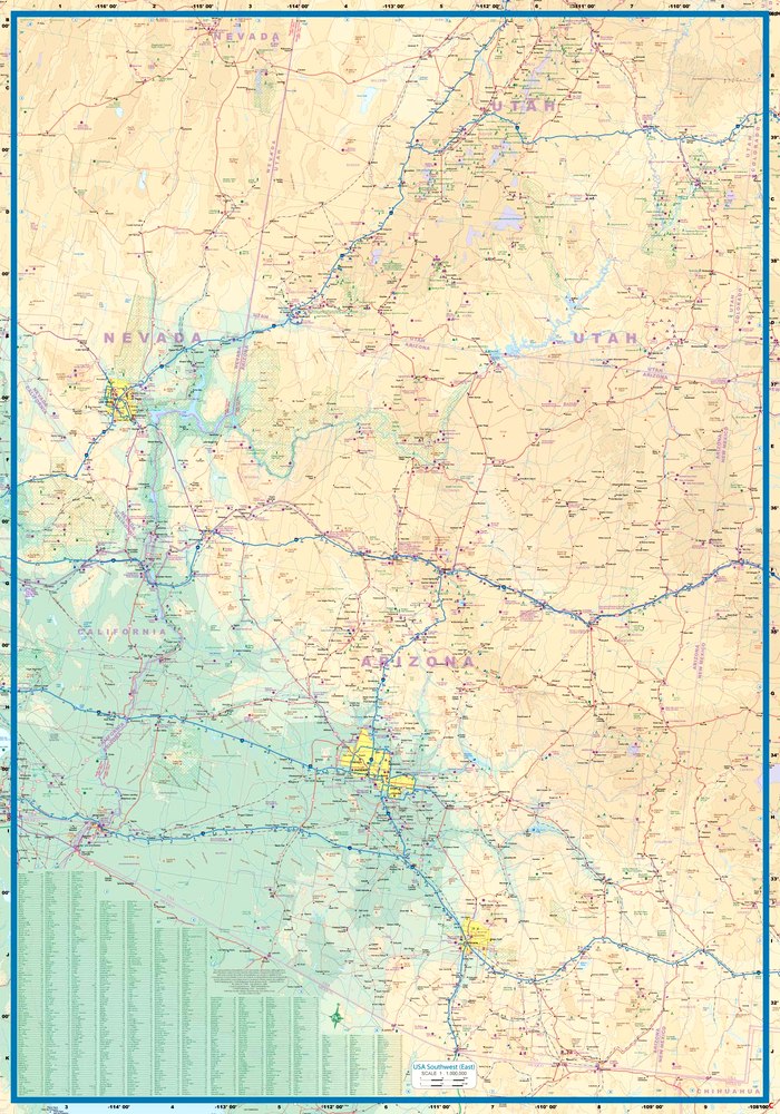
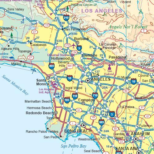
We're introducing a map of the US Southwest States, notably most of California and Nevada, Arizona, most of Utah, and the western third of New Mexico and Colorado. This double-sided map covers from Reno and Sacramento in the north to Tijuana and Deming NM in the south, and from the Pacific coastline in the west to Gallop NM and Grand Junction CO in the east. This map includes towns, roads, physical features, major parks and natural monuments, touristic attractions, and border crossings.