


contattaci
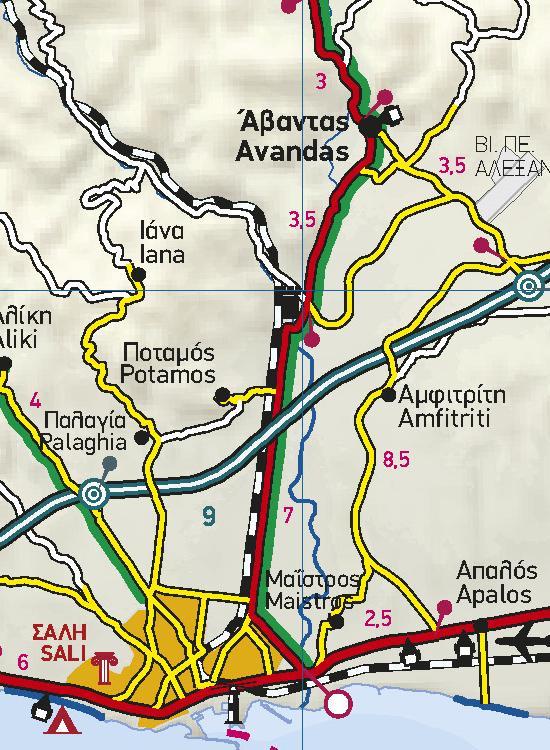
Also depicted are the region’s tourist attractions, archaeological sites, castles, monasteries, National Parks, caves open to visitors, scenic routes worth exploring, campsites, vineyards under Protected Designation of Origin and wineries open to the public. In mountainous regions the ski resorts, mountain refuges and main trails are illustrated.
Presentation of the road network is exceptionally detailed and complete to reflect the scale of the map, and it is arranged into six categories.