


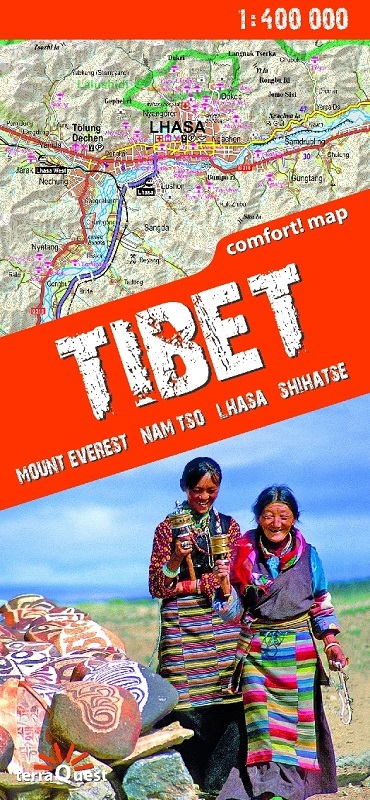

This unique, handy-in-use trekking map of the southern part of Tibet stands out for its accurate, detailed topographical and tourism-oriented content. The map has been designed especially for enthusiasts of active leisure pursuits who are planning to set off on a trek in the area of Mount Everest, the Lhasa valley, or Namtso Lake.
The map covers the most interesting region of Tibet. The southern boundary of the map range is the Sino-Nepalese border (from Shishapangma summit to Sikkim border) as well as the Sino-Indian and the Sino-Bhutanese borders. The map extends to the west as far as the border crossing between China and Nepal on the Friendship Highway. The northern boundary of the map range is the Tsangpo valley and Namtso Lake. Eastward, the map extends to the Yungbulakang Palace and the town of Tsetang.
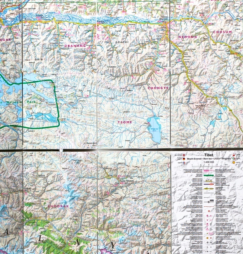
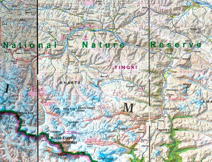
Rich tourism content (including trekking routes, tourist infrastructure, Buddhist monasteries, natural attractions and other sights of tourist interest). It has shaded relief, representing the area's three-dimensional topography,
GPS compatibility (WGS84 geographic coordinates). It is
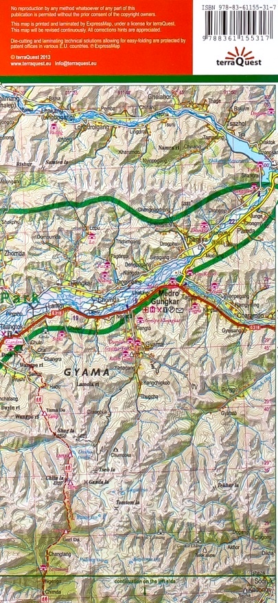
produced with the use of the Comfort! Map technology developed by ExpressMap (P), the map is laminated all over, which makes it last longer and ensures that it is exceptionally easy to handle even in the harshest mountain weather.
Map legend in six languages: English, German, French, Spanish, Italian and Polish.