Los Angeles e California sud
1:15.000 + 1:1.000.000
A street map of Los Angeles and a road map of South California – the best way to plan your trip, to prepare your itinerary, and to travel independently.
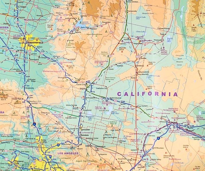
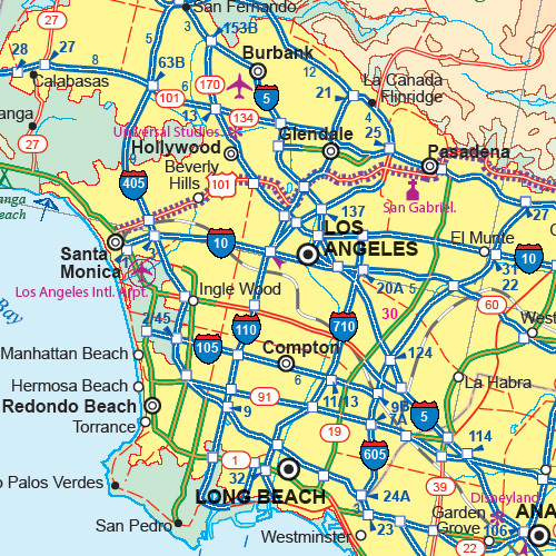
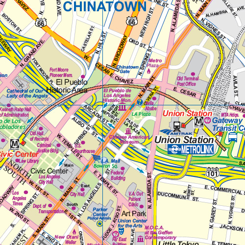
This double-sided map shows colour-coded parks/plazas/open spaces, industrial areas, institutional grounds, attractions & shopping, cemeteries. Metro/rail map. Roads from expressways to minor roads, commuter rail, red/gold/blue metro lines, accommodations, museums, theatres and cinemas, churches, important buildings, hospitals, post offices, police stations, schools, road barriers, bicycle routes and hiking paths, pedestrian streets and staircases, other points of interest.
Inset maps of Venice Beach, West Hollywood, Beverly Hills. Inset of Los Angeles region including Burbank, Glendale, Pasadena, Santa Monica, Los Angeles, Inglewood, Torrence, Redondo Beach, Long Beach, Anaheim and Pamona. Inset of Los Angeles cardinal regions and boundaries.


